http://celebratealaskahighway.com/1942-eyewitness-accounts/
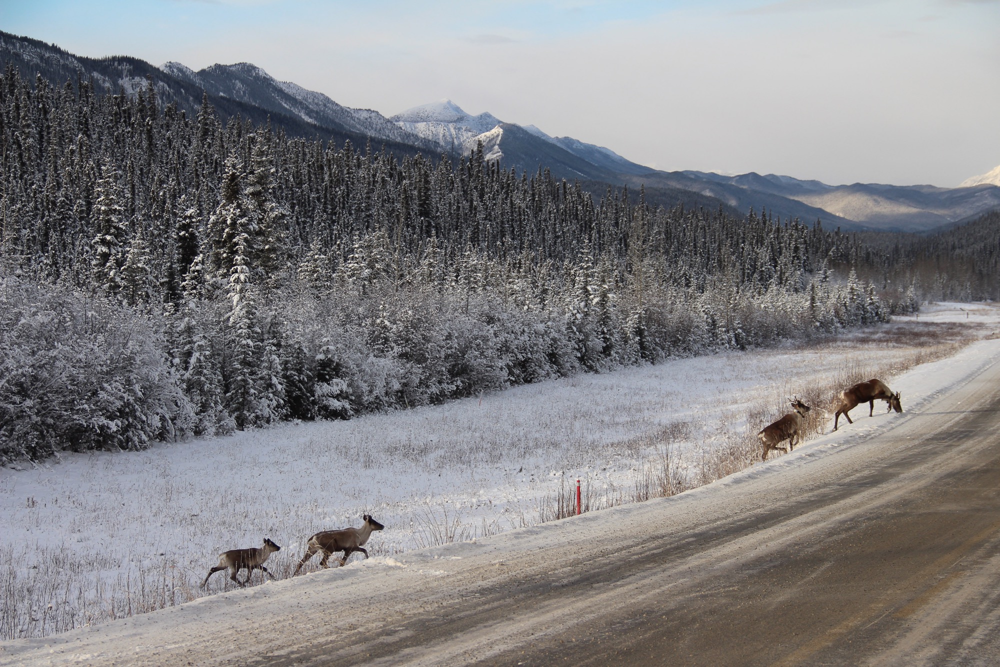
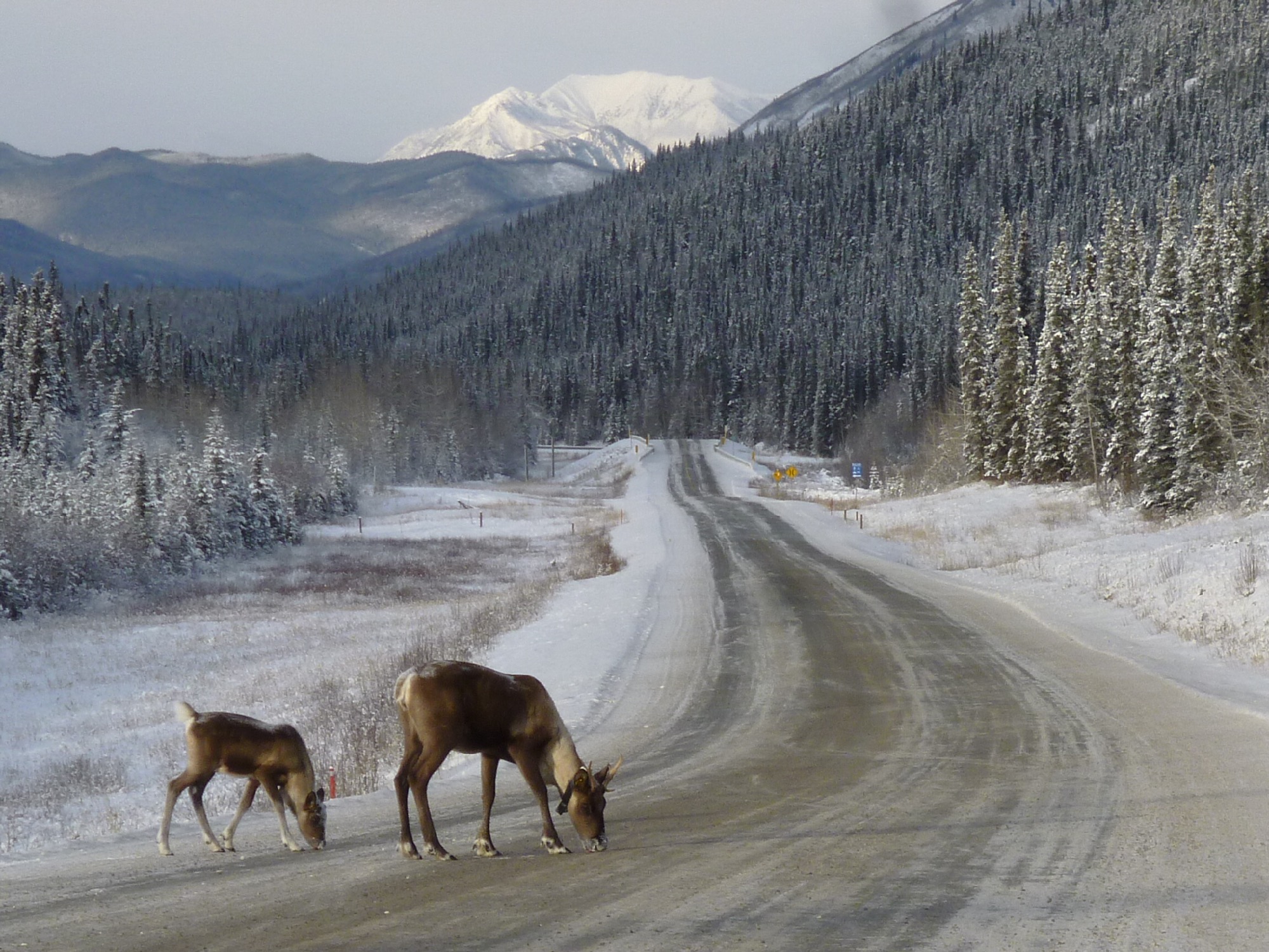
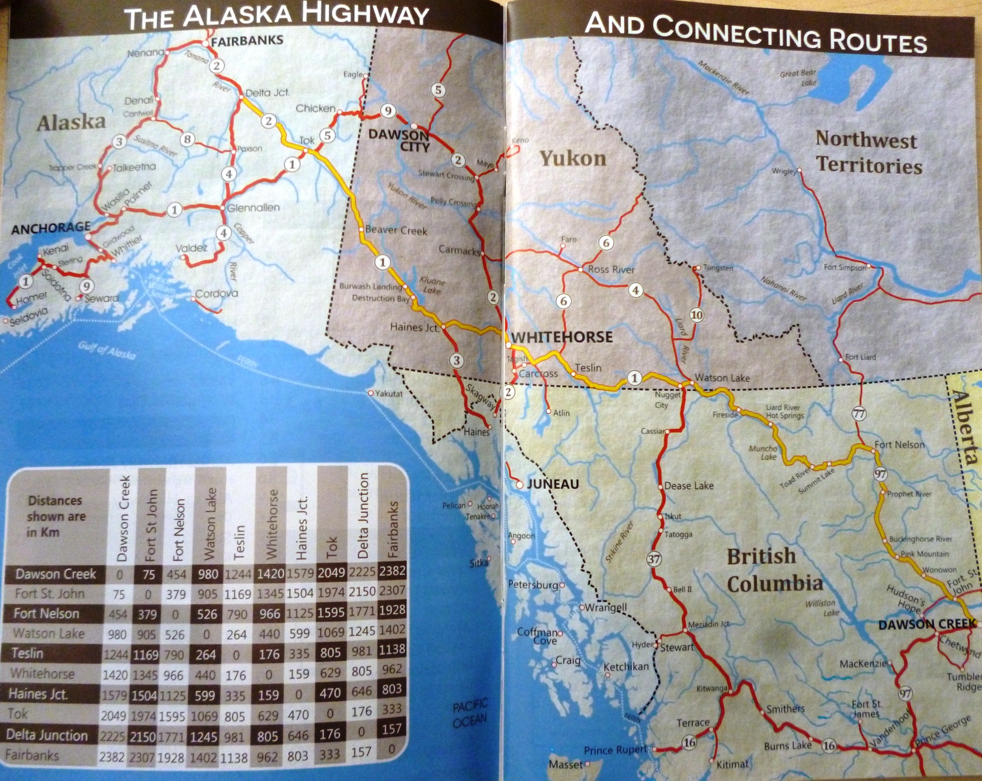
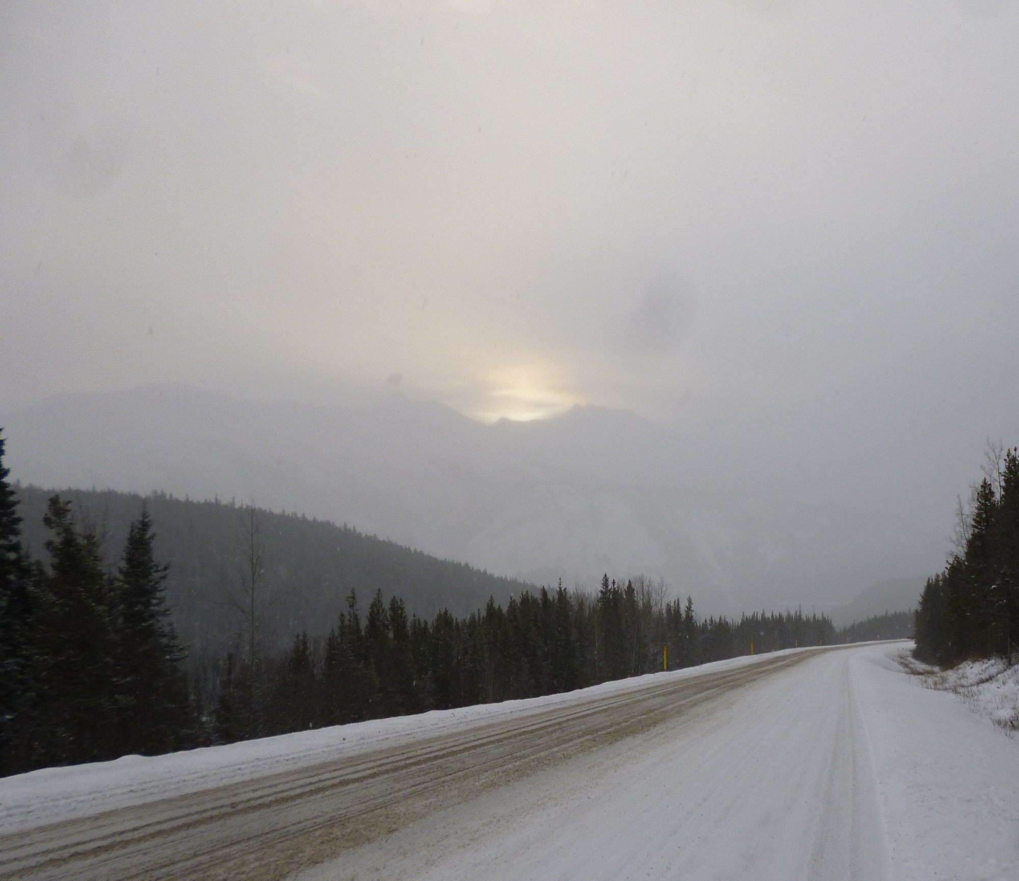
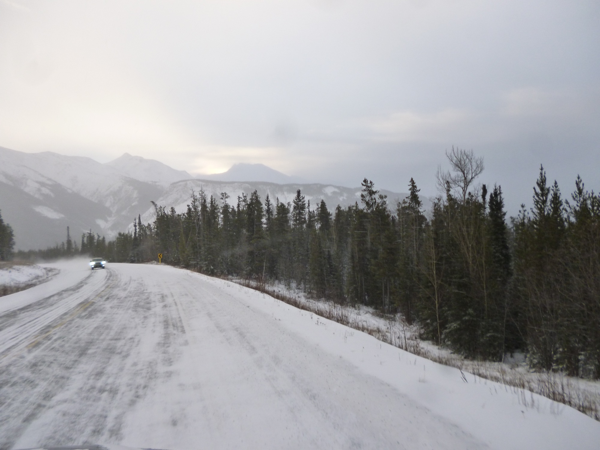
The completion of the first version of the Alaska Highway (AH – also known as the ALCAN highway) was on October 28, 1942, with the official ribbon cutting celebration at Soldier's Summit on November 20, 1942, (even though the “highway” itself was not usable by general vehicles until 1943). Over the years, many improvements and upgrades have been made to the highway, so that the official length of the Alaska Highway is often not consistent, even in government documentation. The Alaska Highway today is a broad two-lane highway with wide shoulders, (where possible), for the large trucks that travel on it. There are a few resting places on the AH, but very few gas stations, accommodation facilities or internet access points. A majority of trucks carry either petrol or lumber loads, but there are also consumer product being carried by Tim Horton’s and Canadian Tire trucks. What is a rare on the AH is finding vehicles which do not have damaged windshields.
http://www.cbc.ca/news/canada/north/yukon-alaska-highway-anniversary-truckers-1.4259874
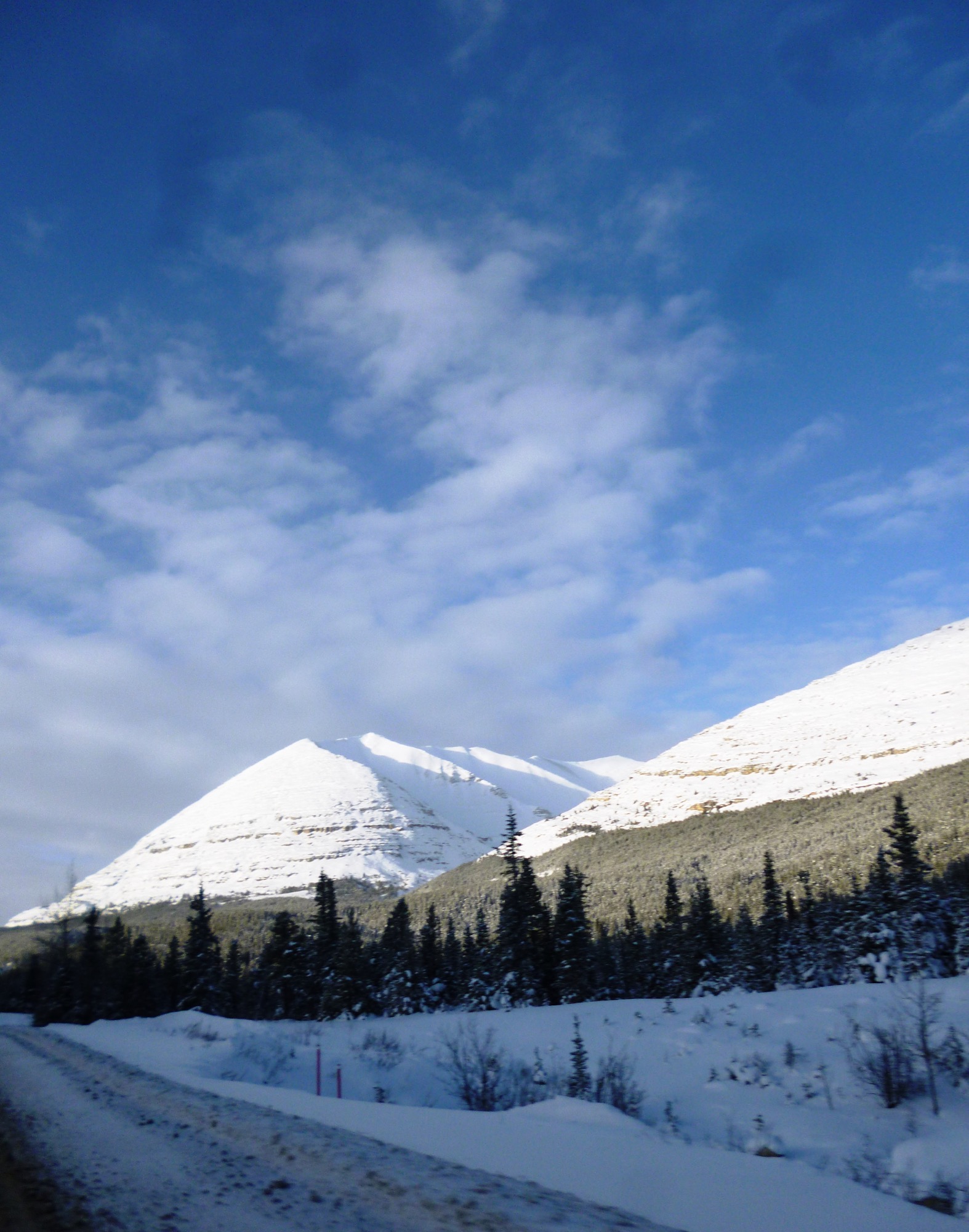
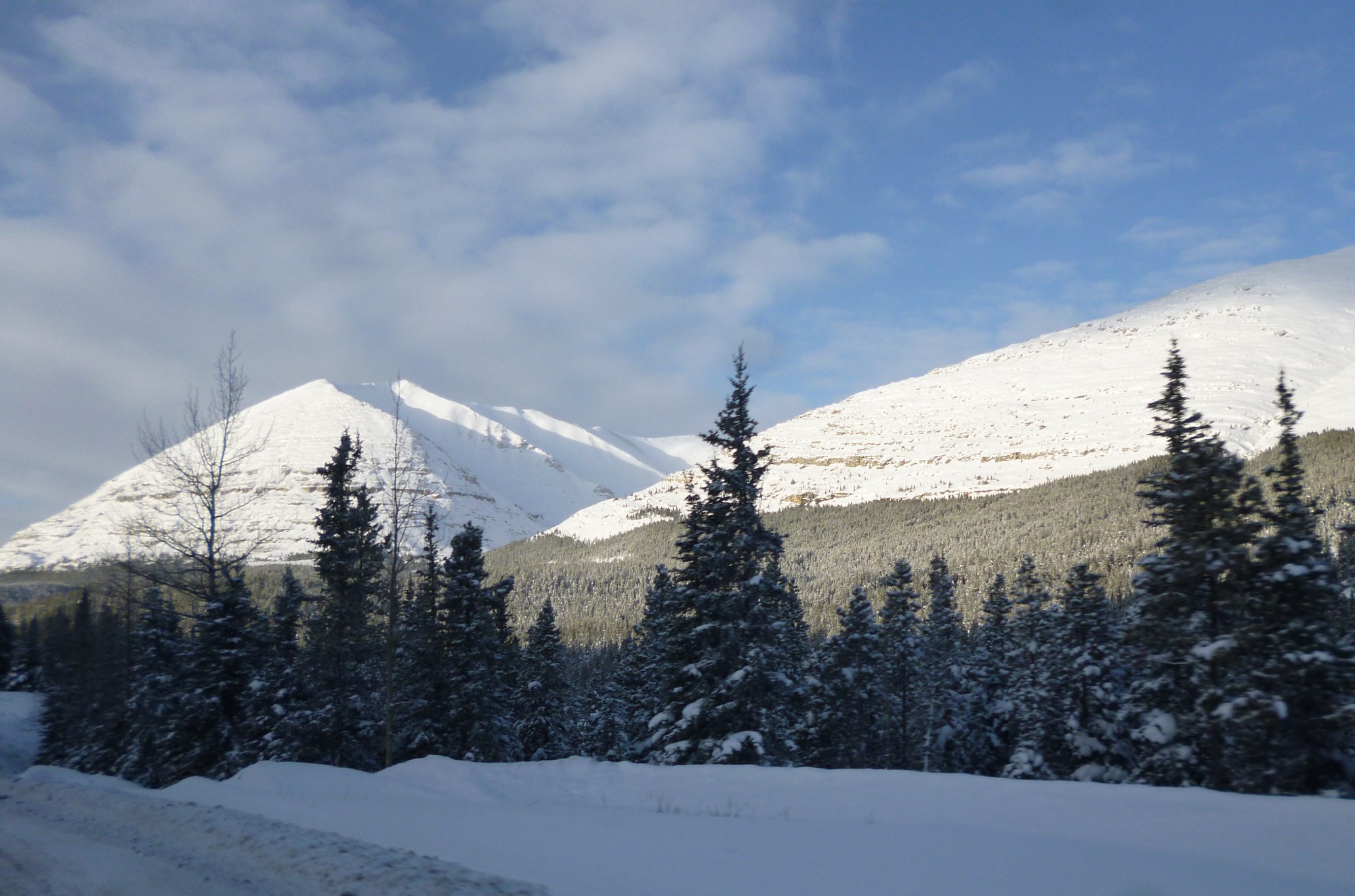
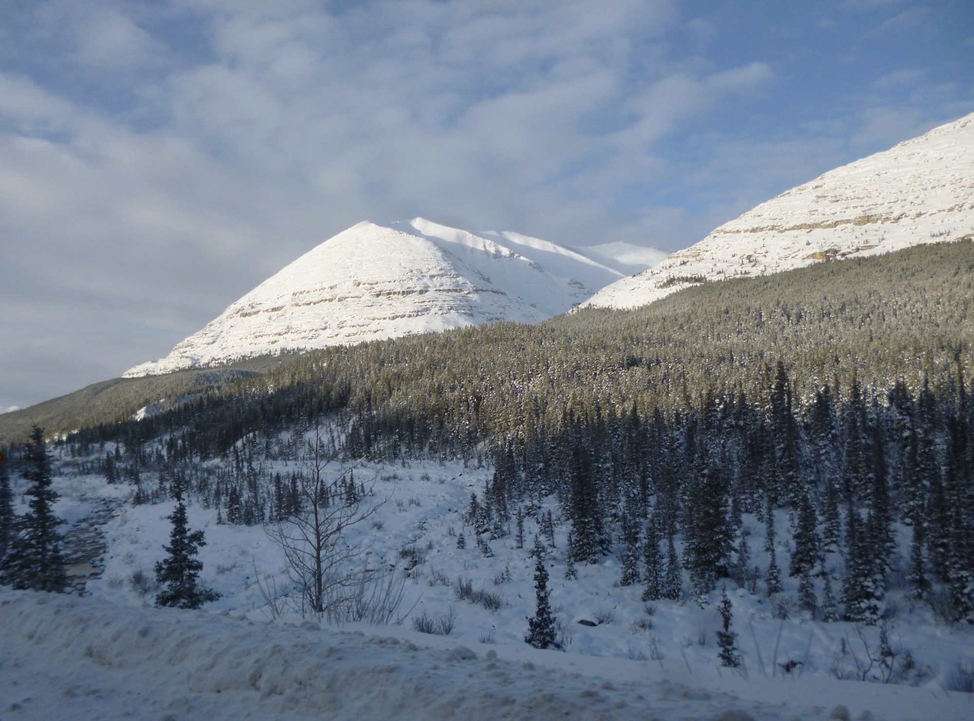
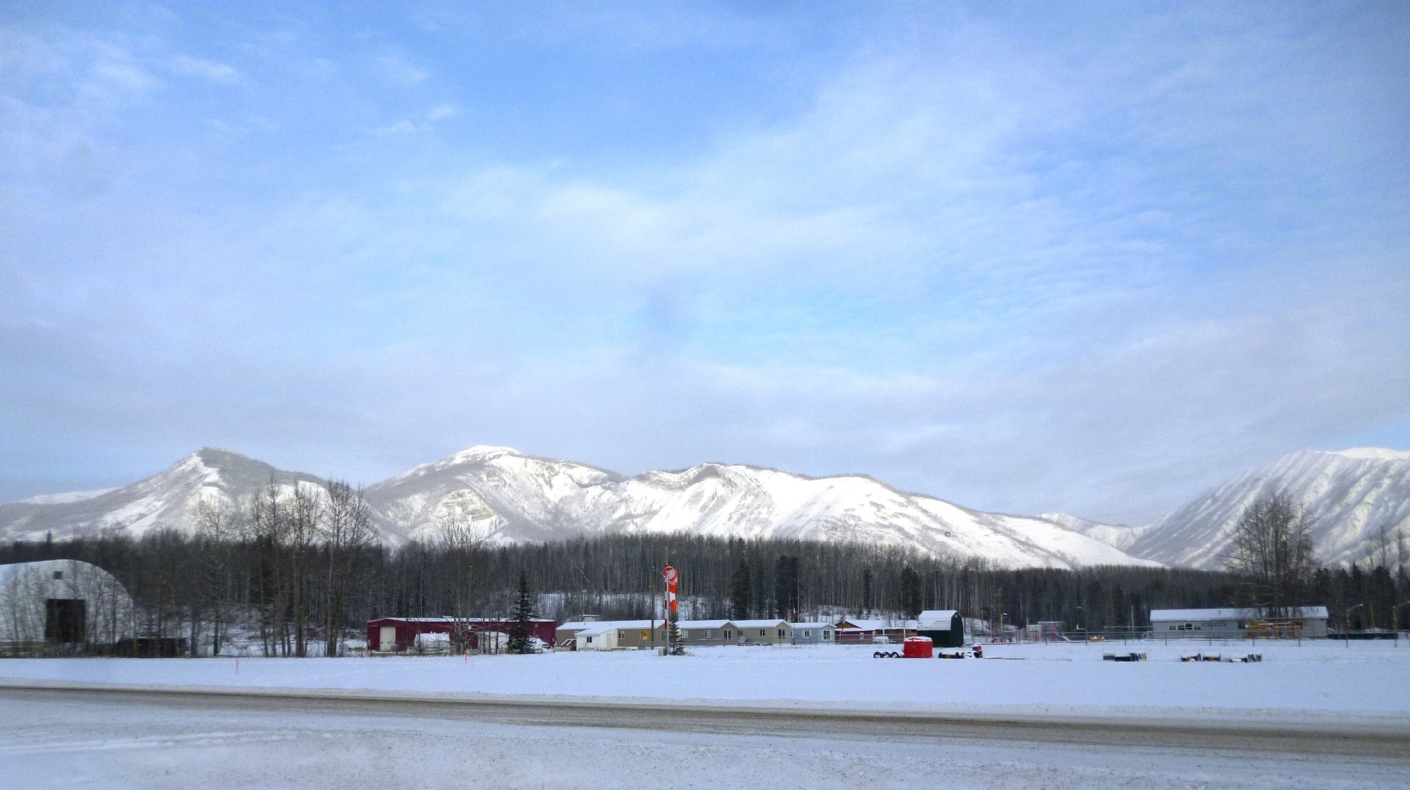
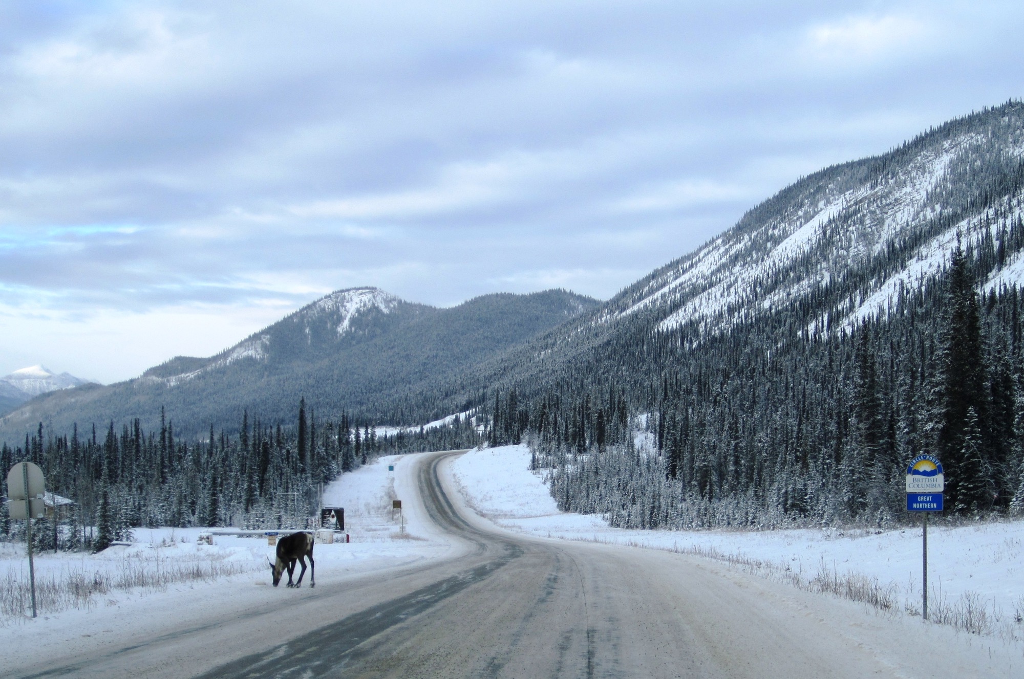
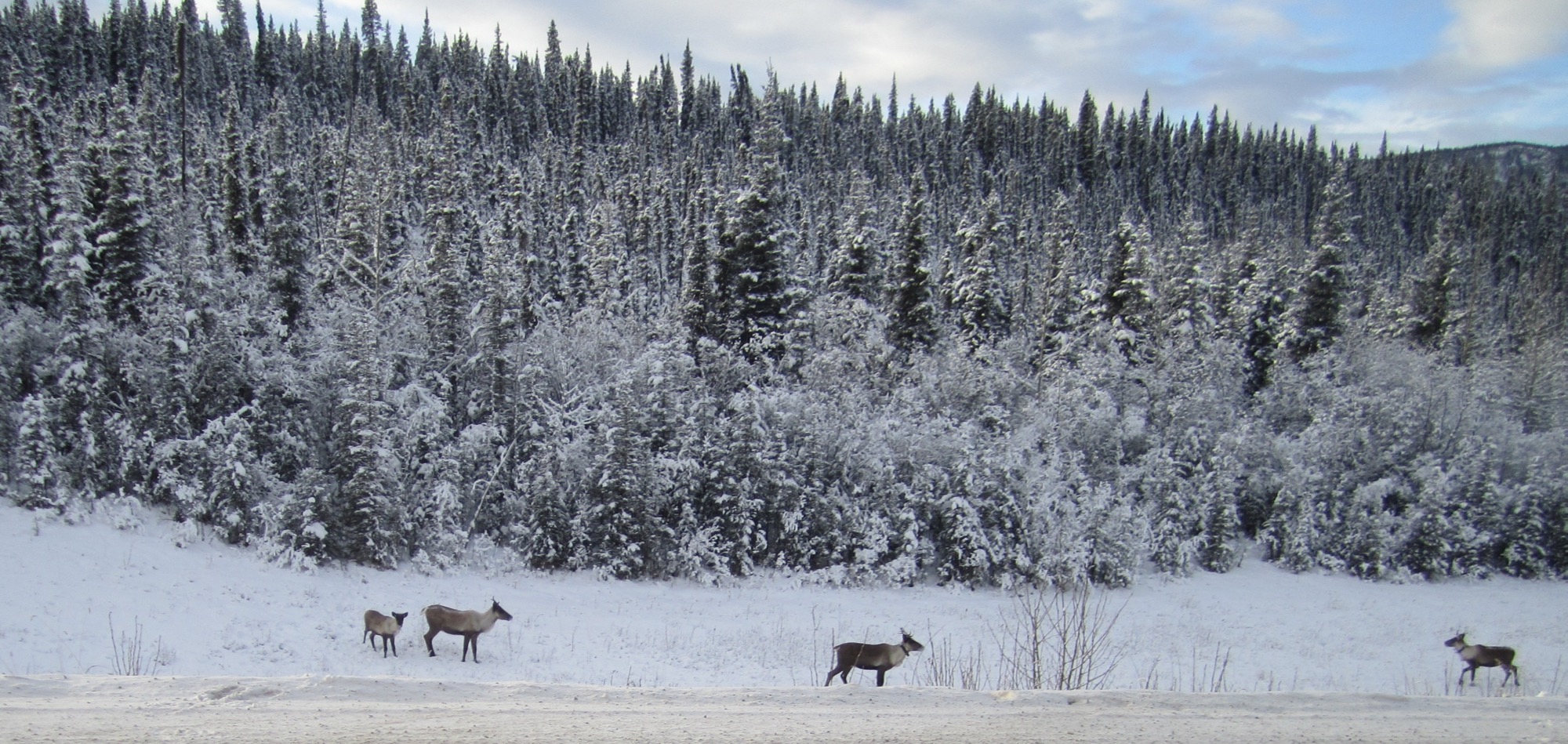
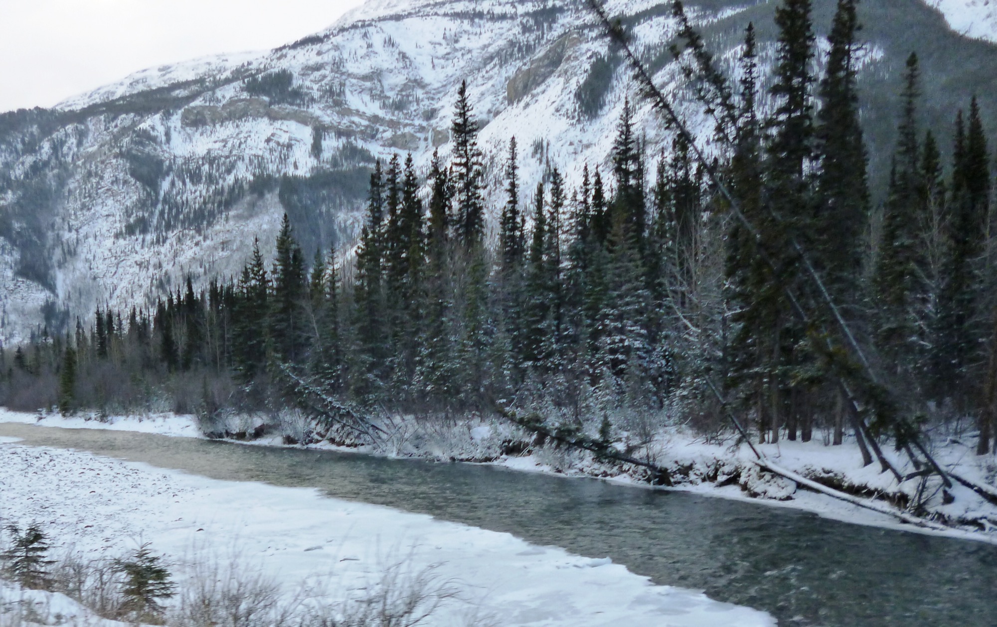
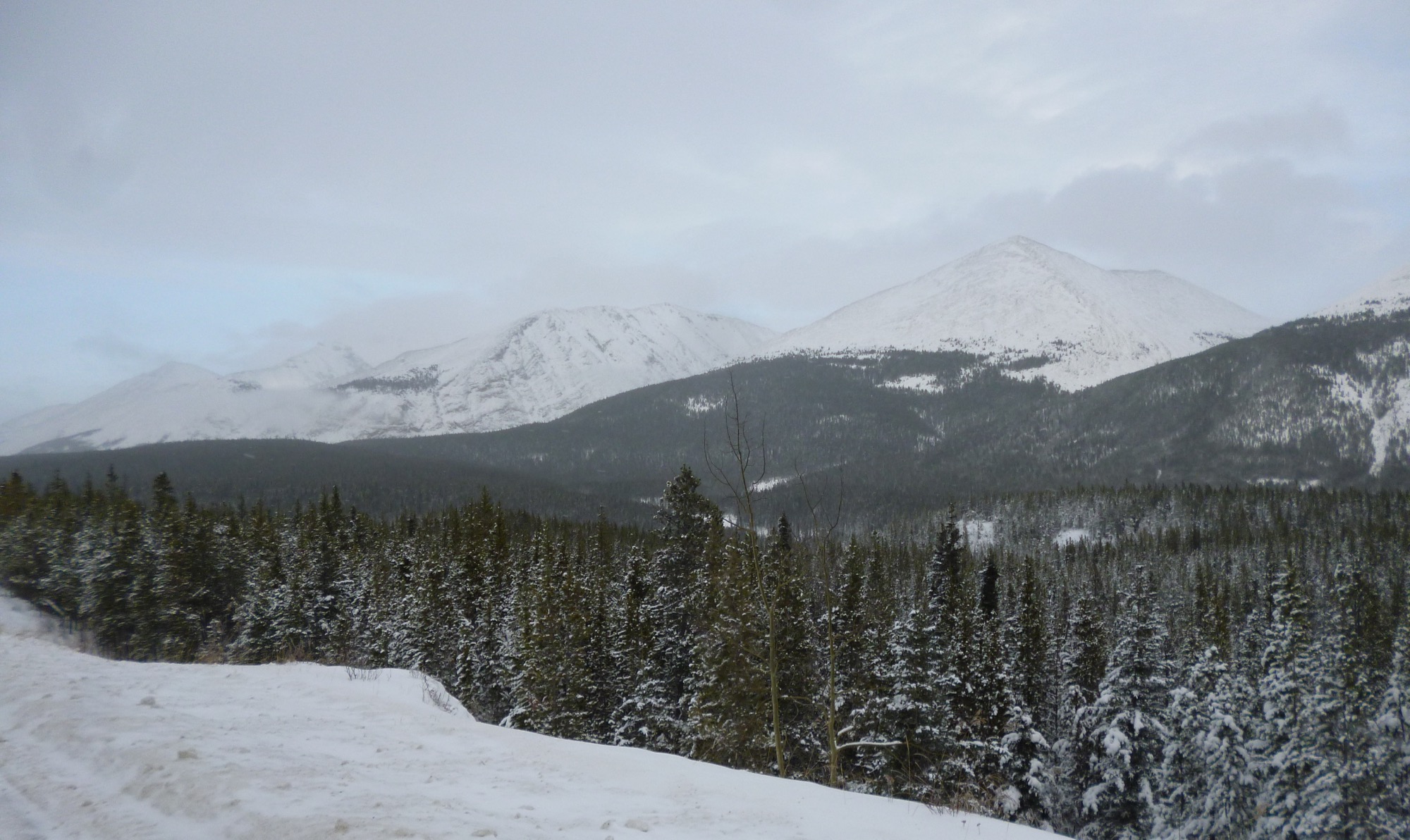
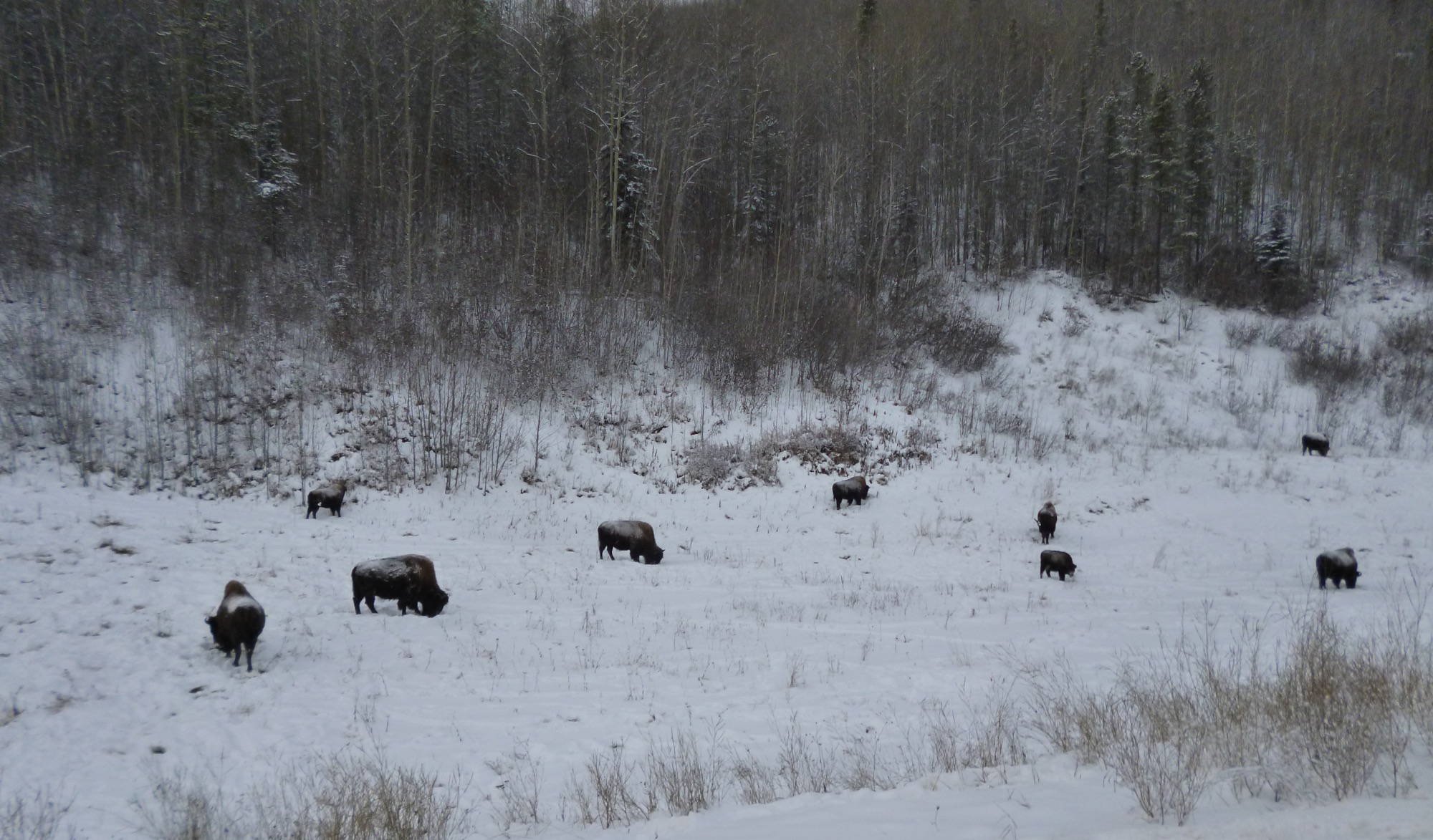
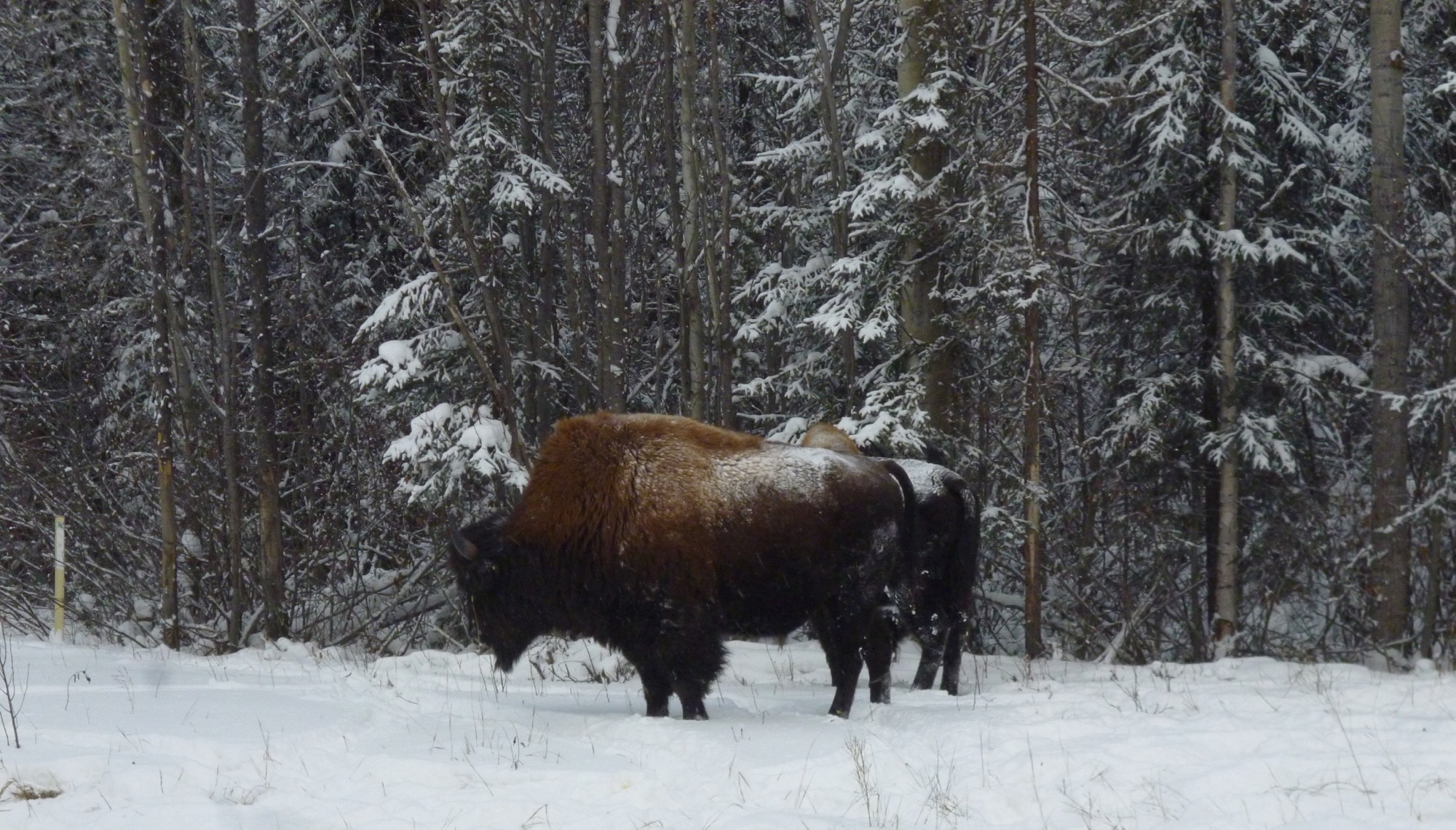
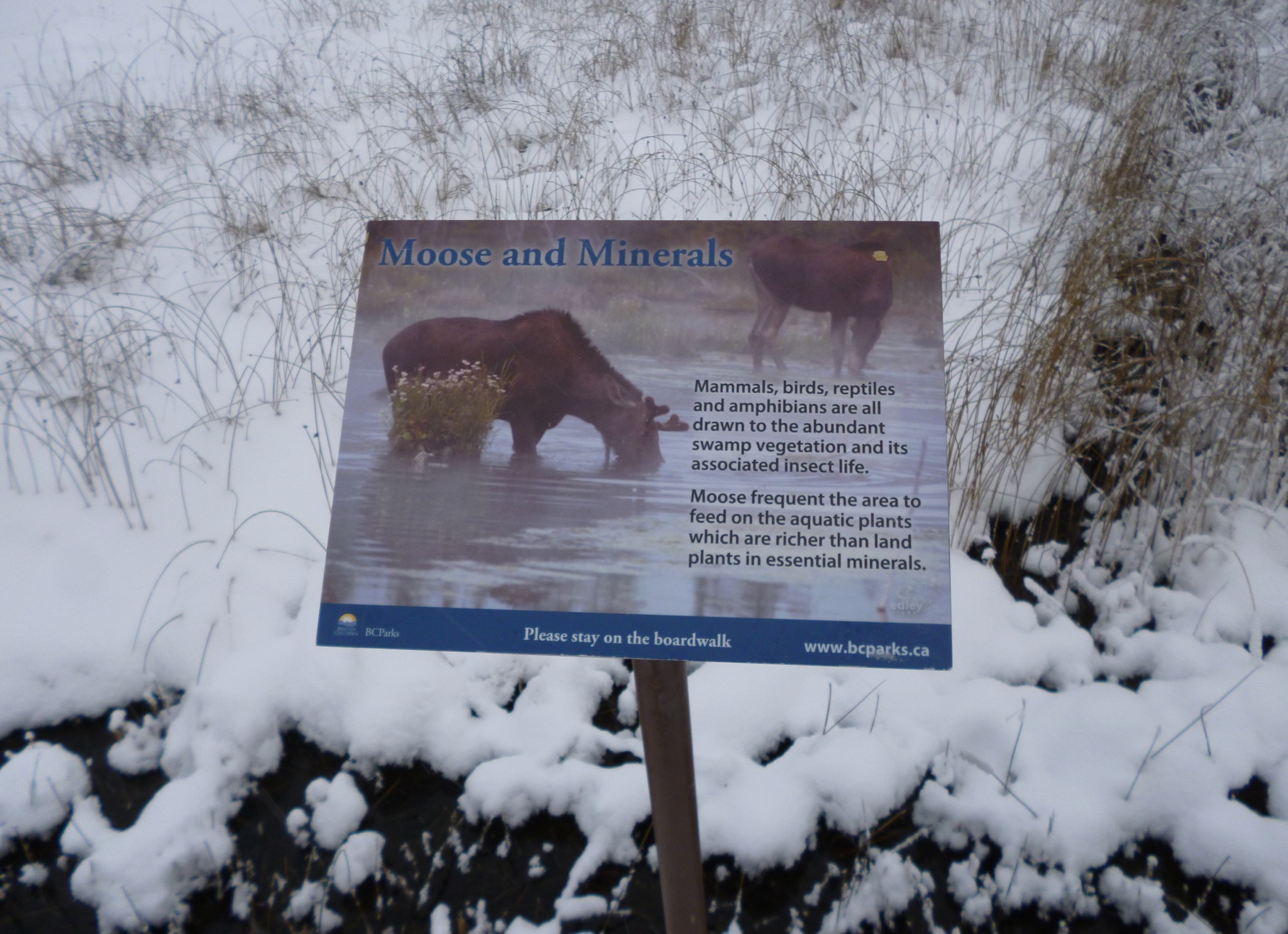
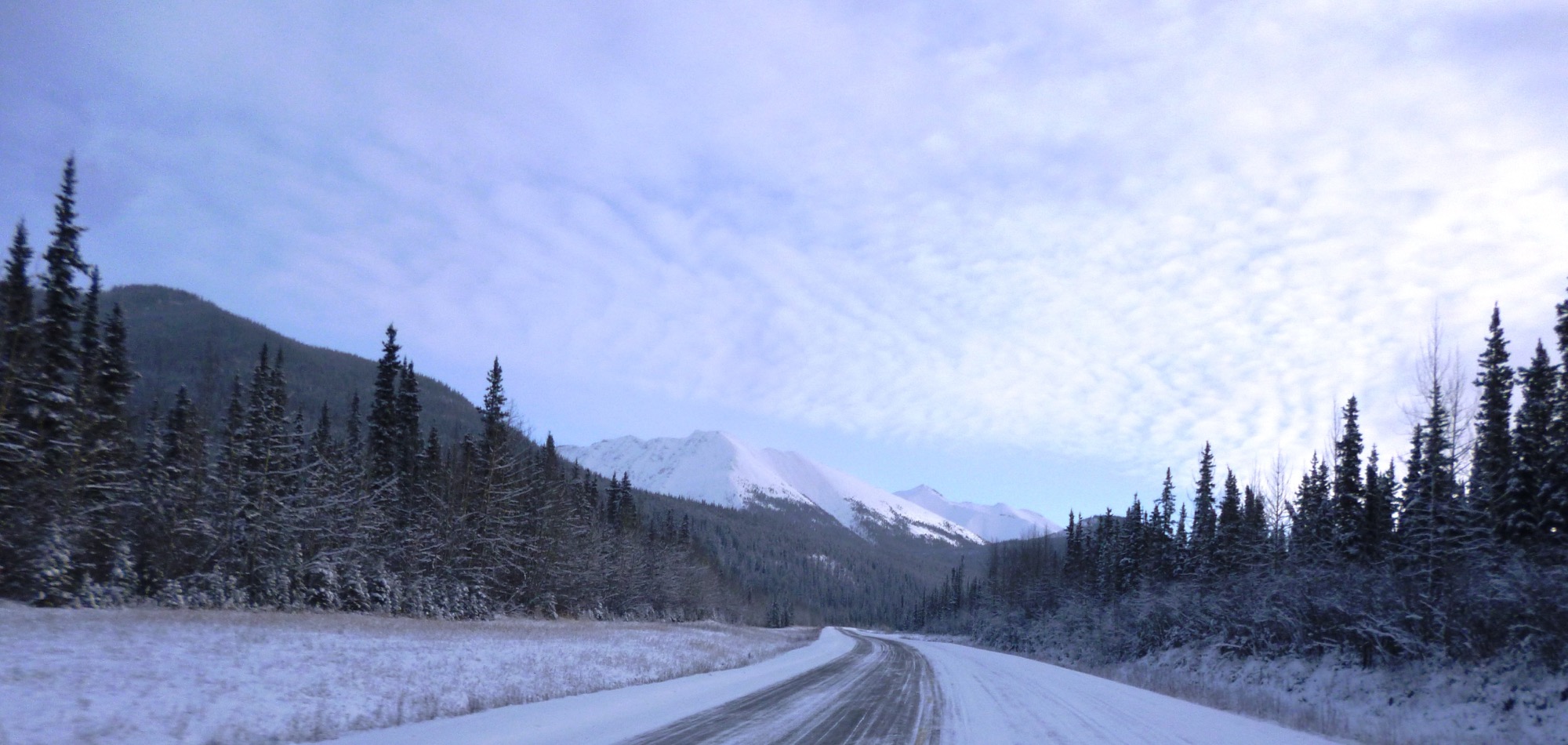
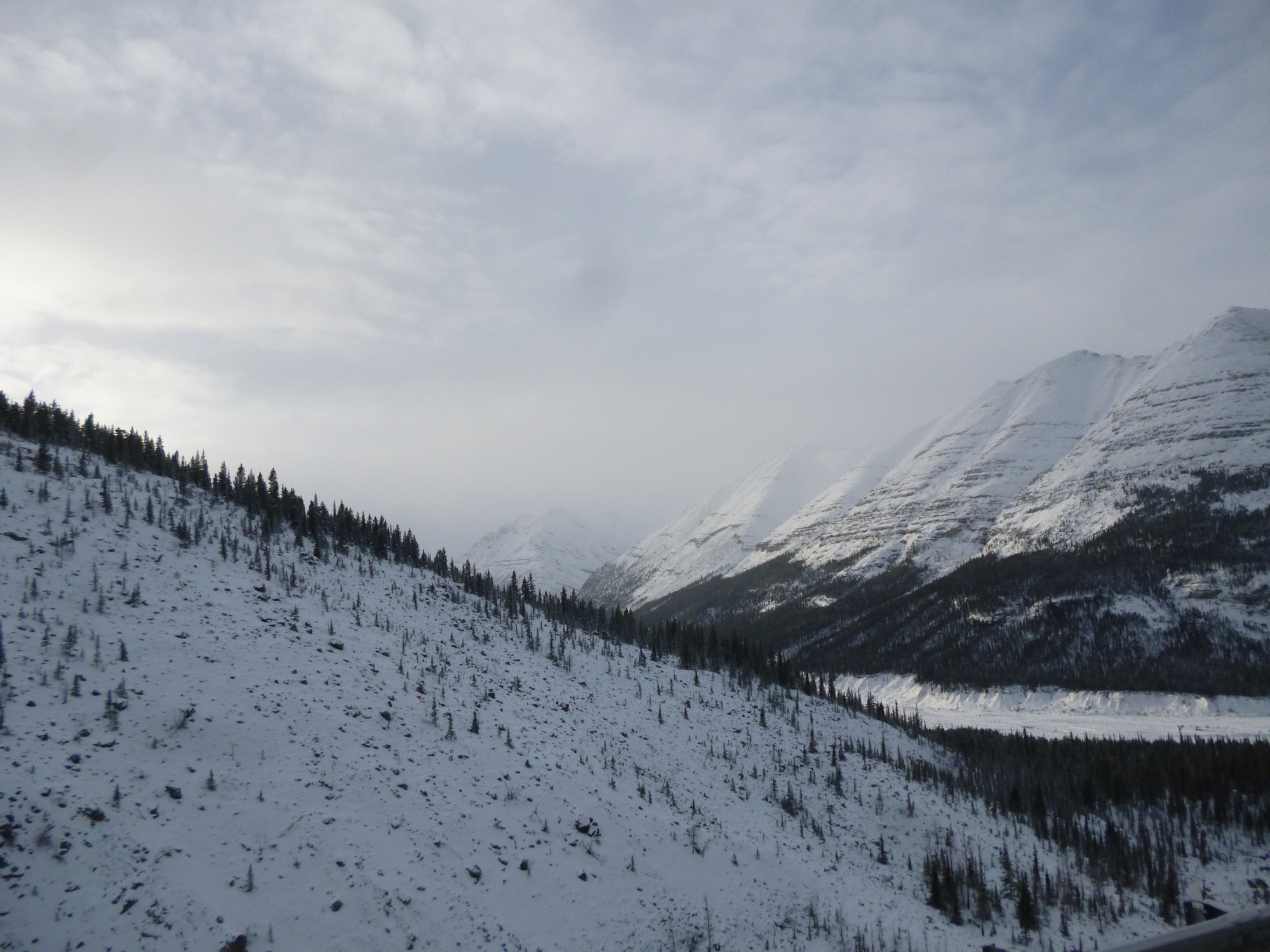
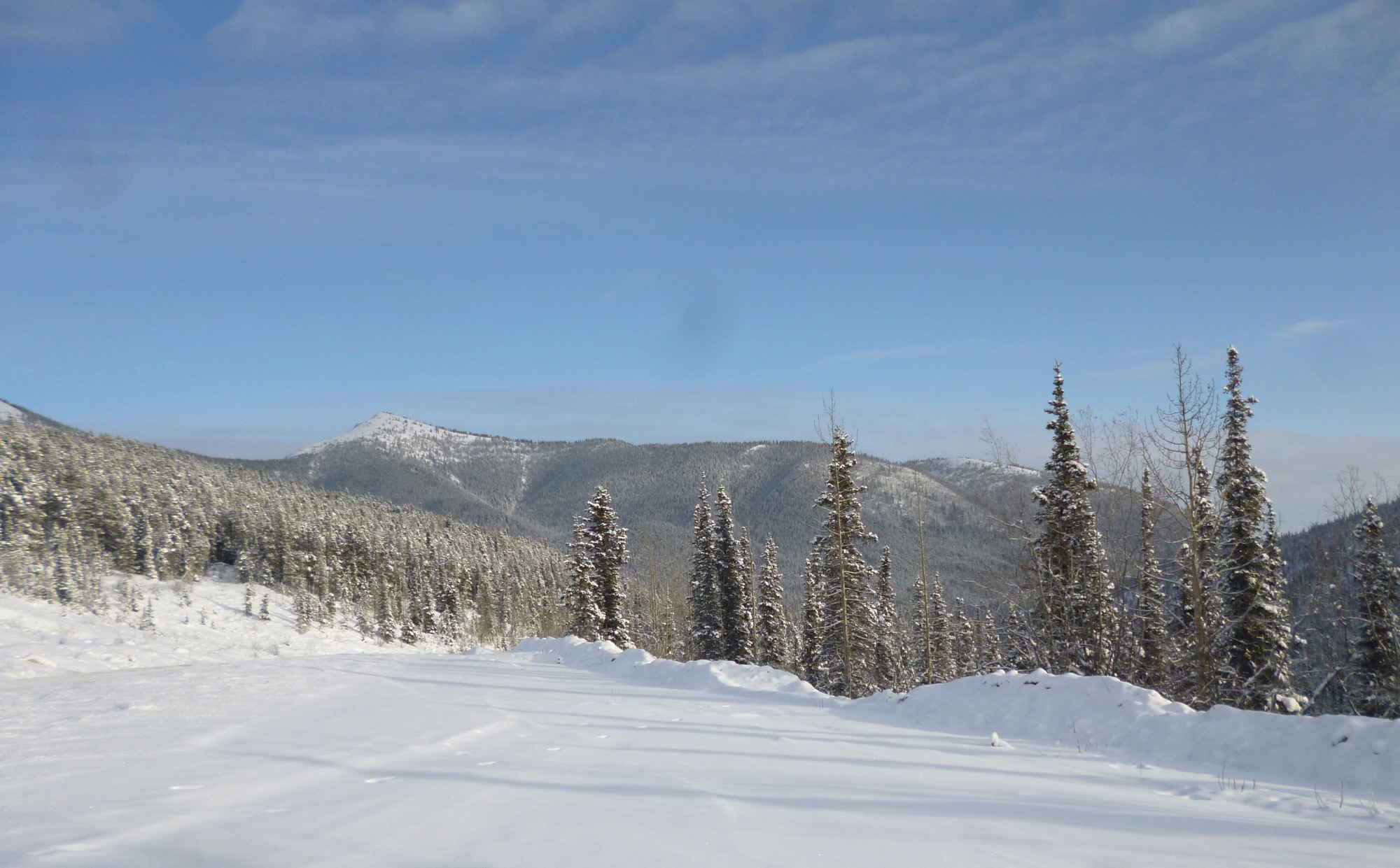
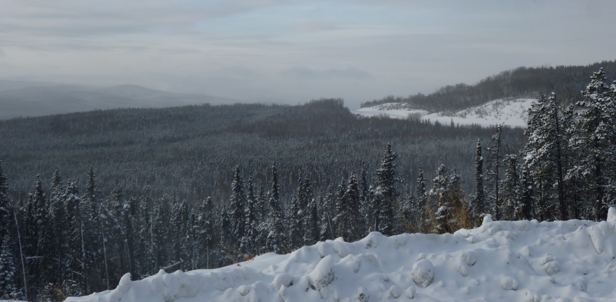
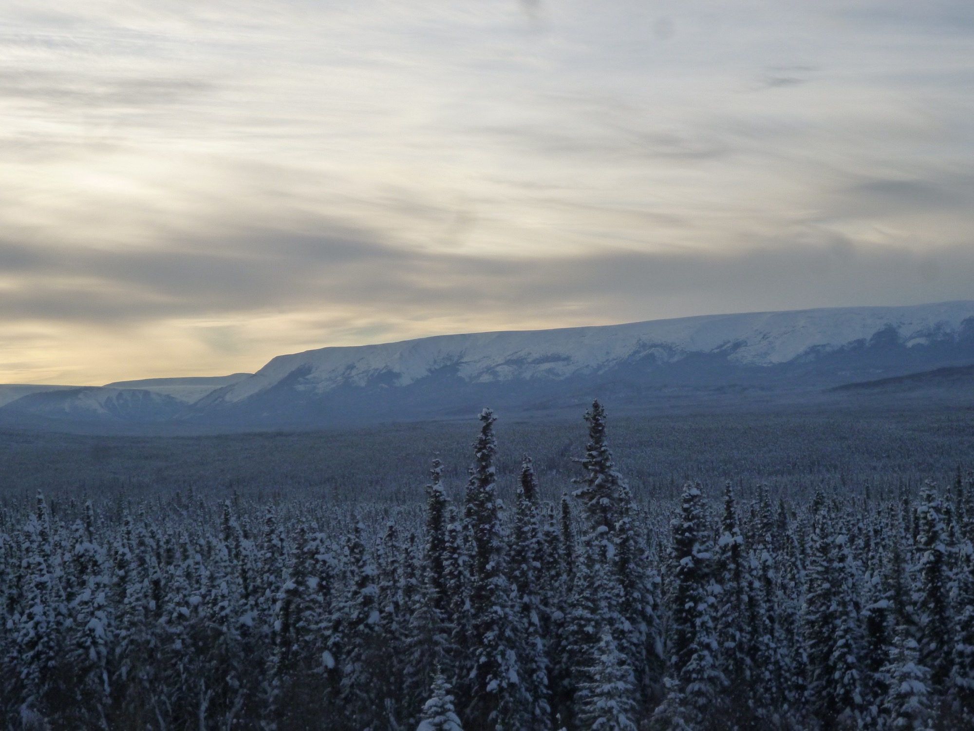
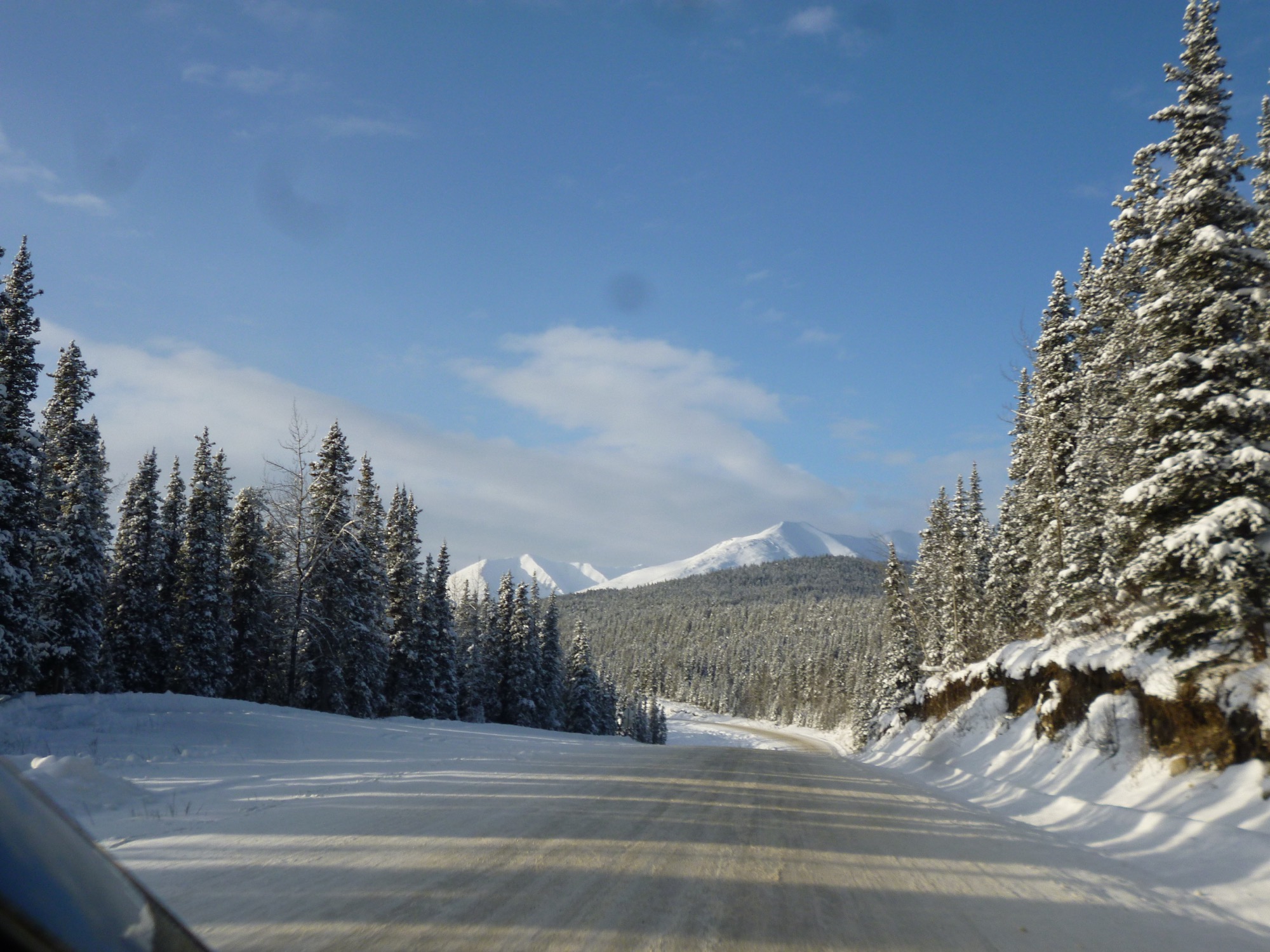
The highway is home to many spectacular mountain and valley views befitting its location on the east side of the Northern Rocky Mountains; and naturally there is also a wide range of wild animal life to see, depending upon how fortunate a visitor may be.
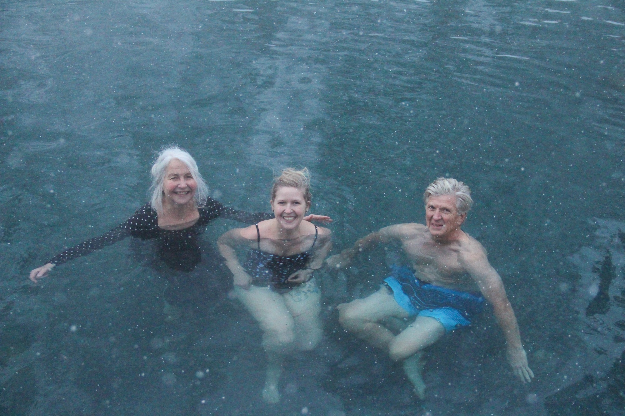
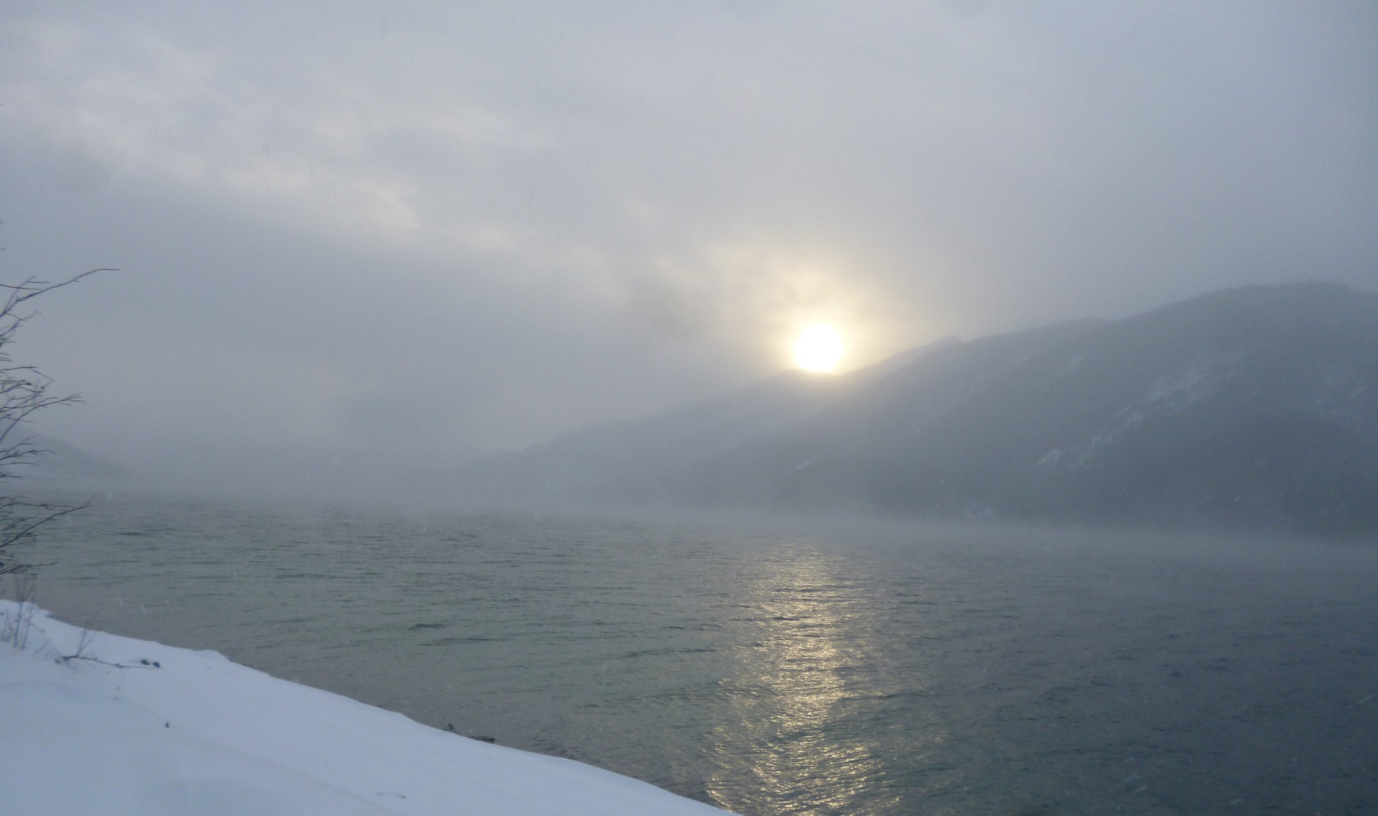
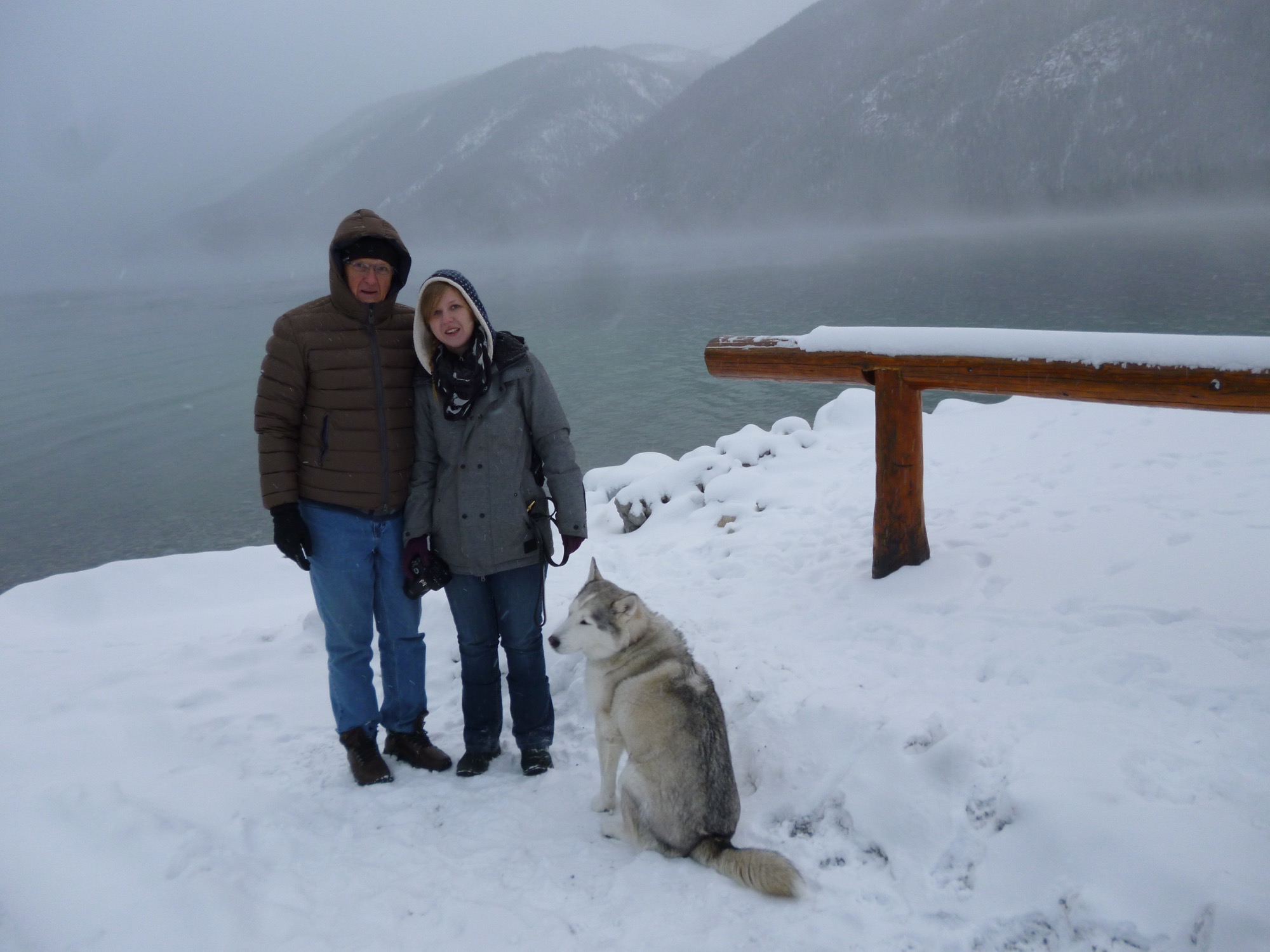
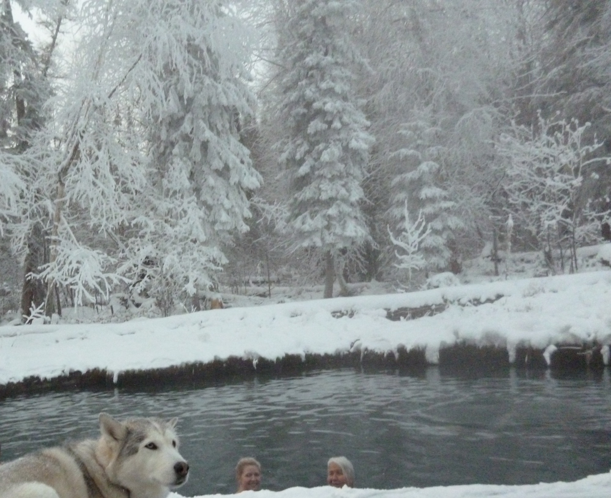
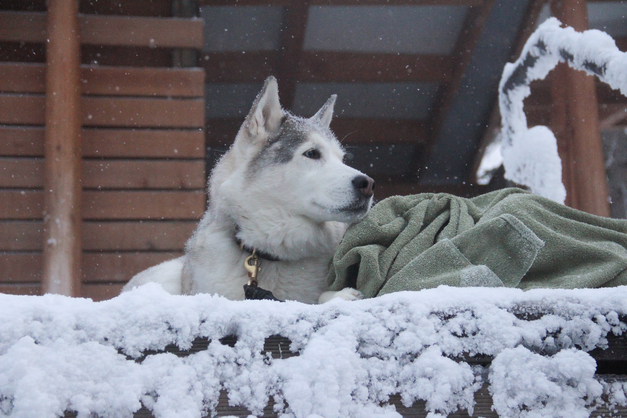
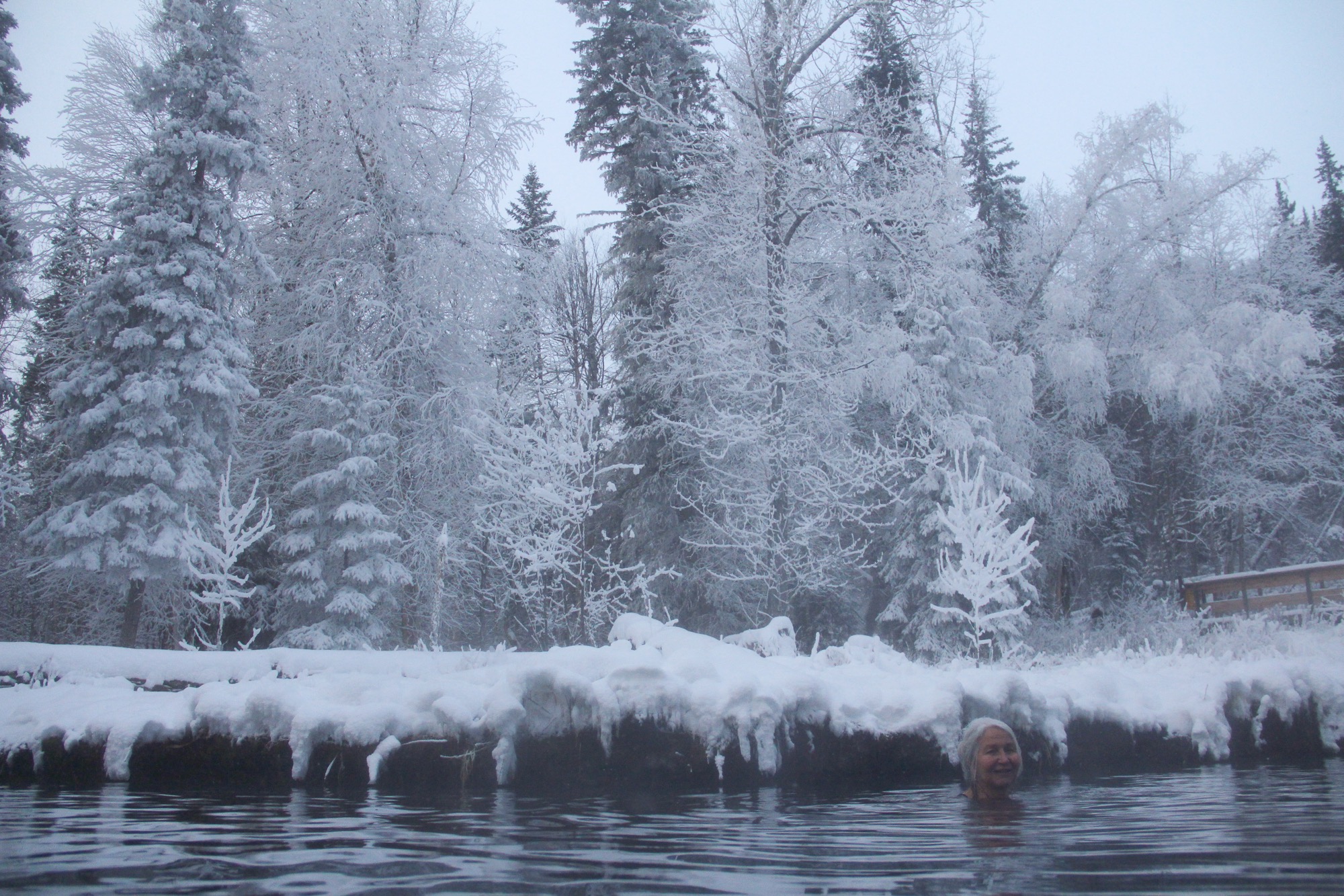
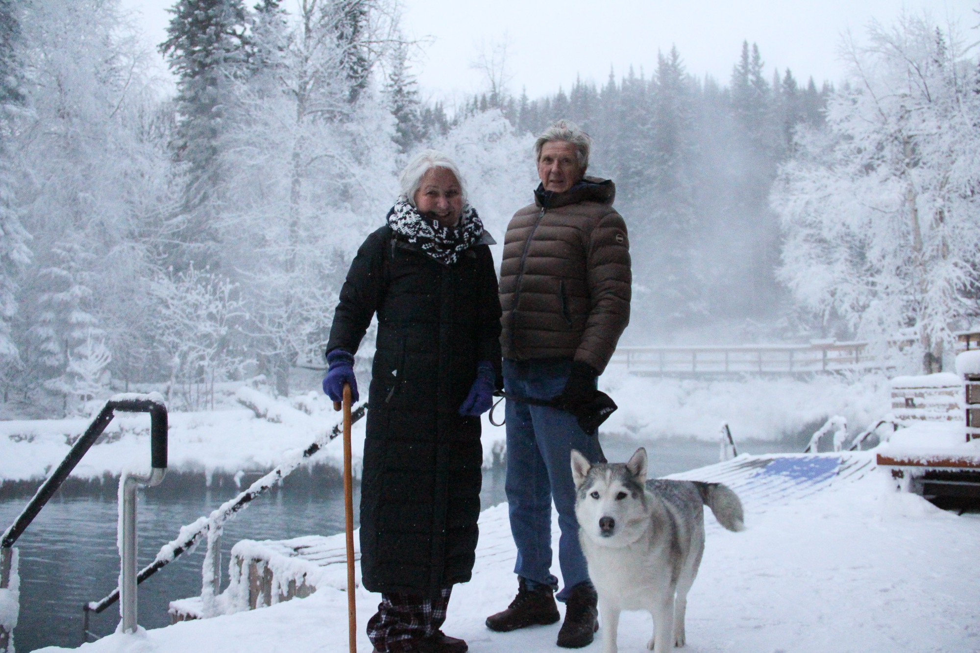
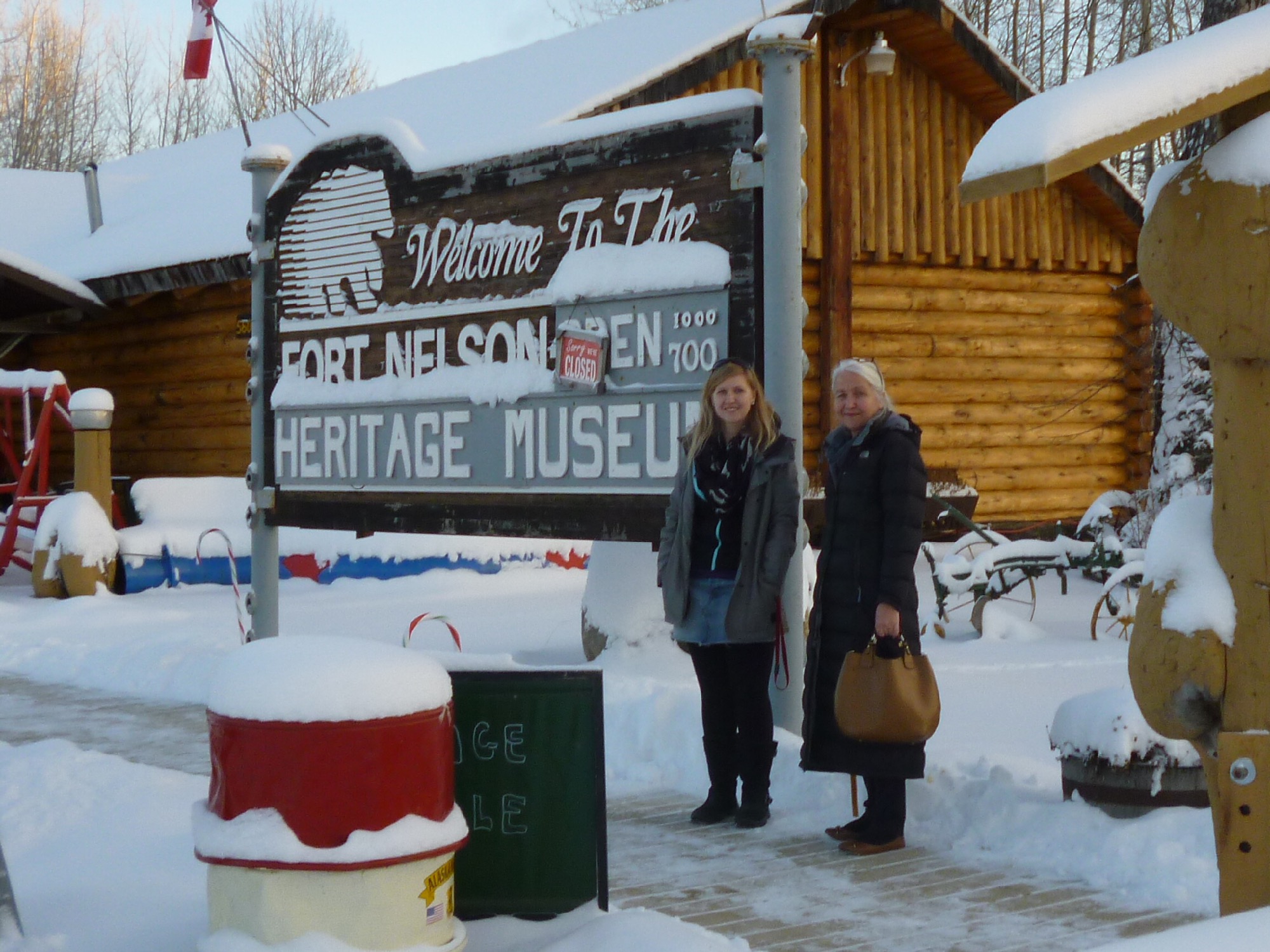
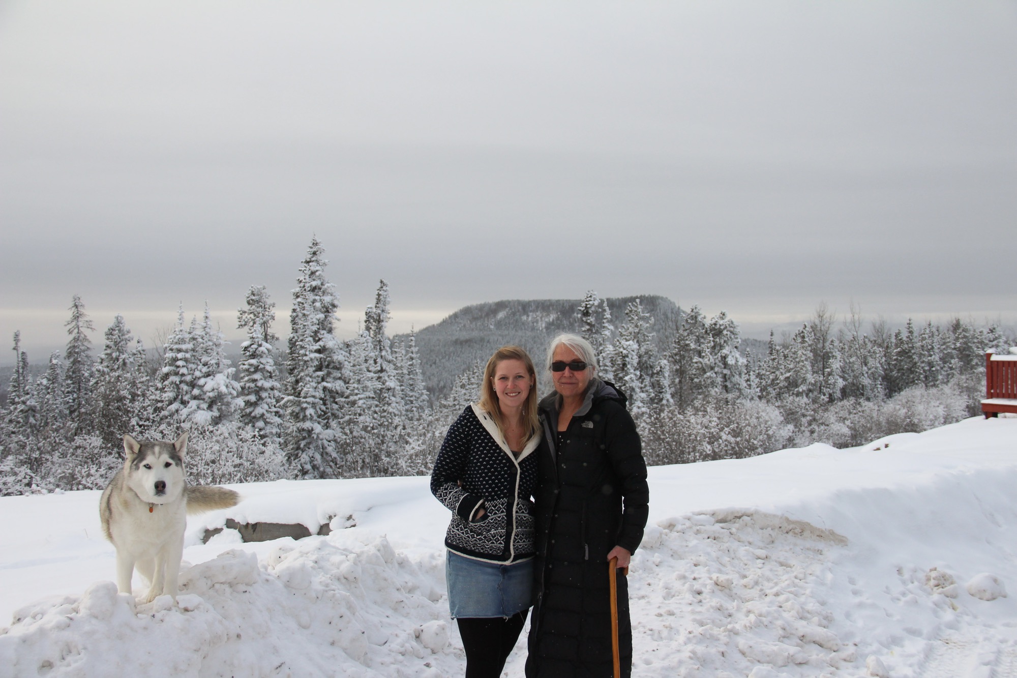
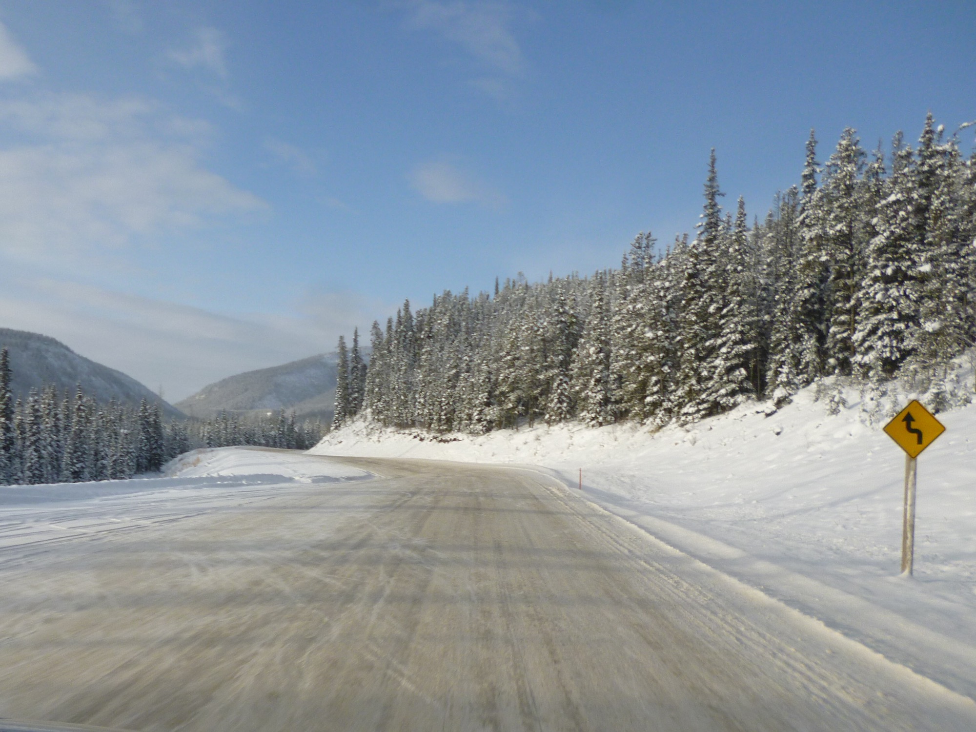
With our daughter Laani living in Fort Nelson (@ mile 300) with her partner James, and Buck their security Siberian husky-malamute dog [he was friendly], it was an opportunity to see, appreciate and partake in a very unique travel experience – travelling the Alaska Highway during winter conditions. For the period of our travels, at no time did the temperature rise above -16c, but as the air was dry, that cold felt less harsh than similar temperatures in more damp climates. For children visiting this neighborhood, building a snowman or making snowballs is a very difficult, if not impossible task.
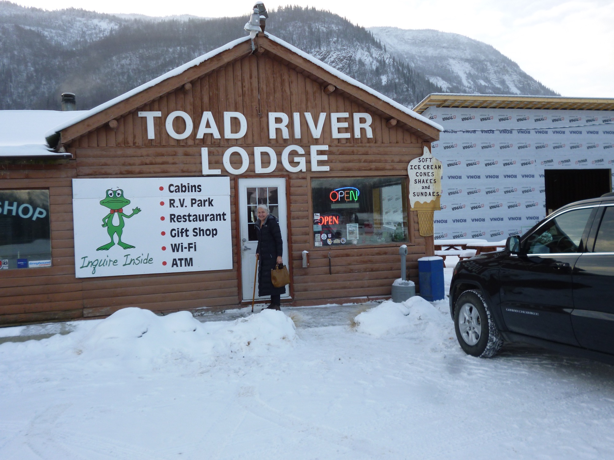
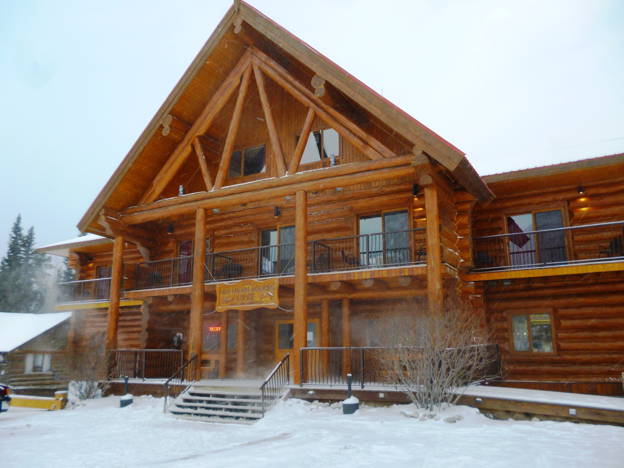
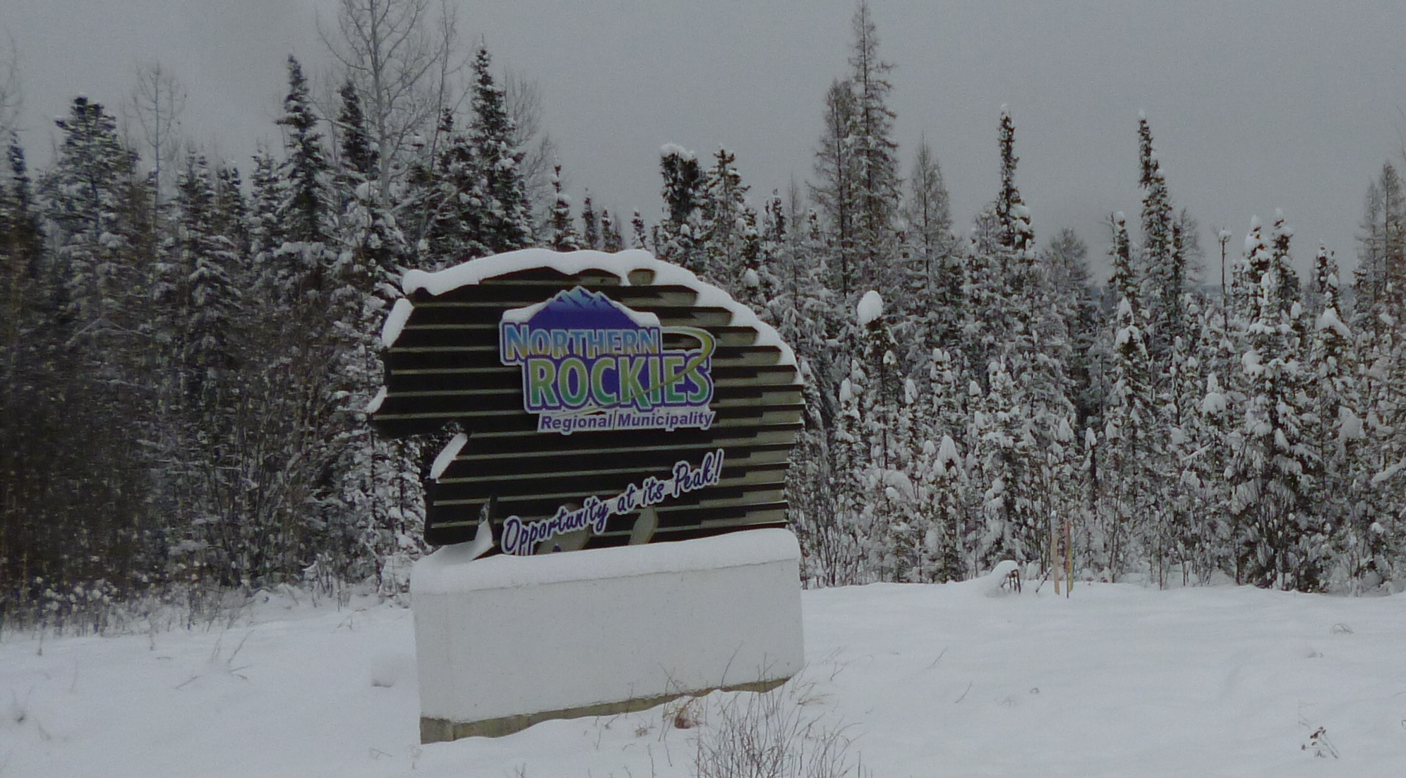
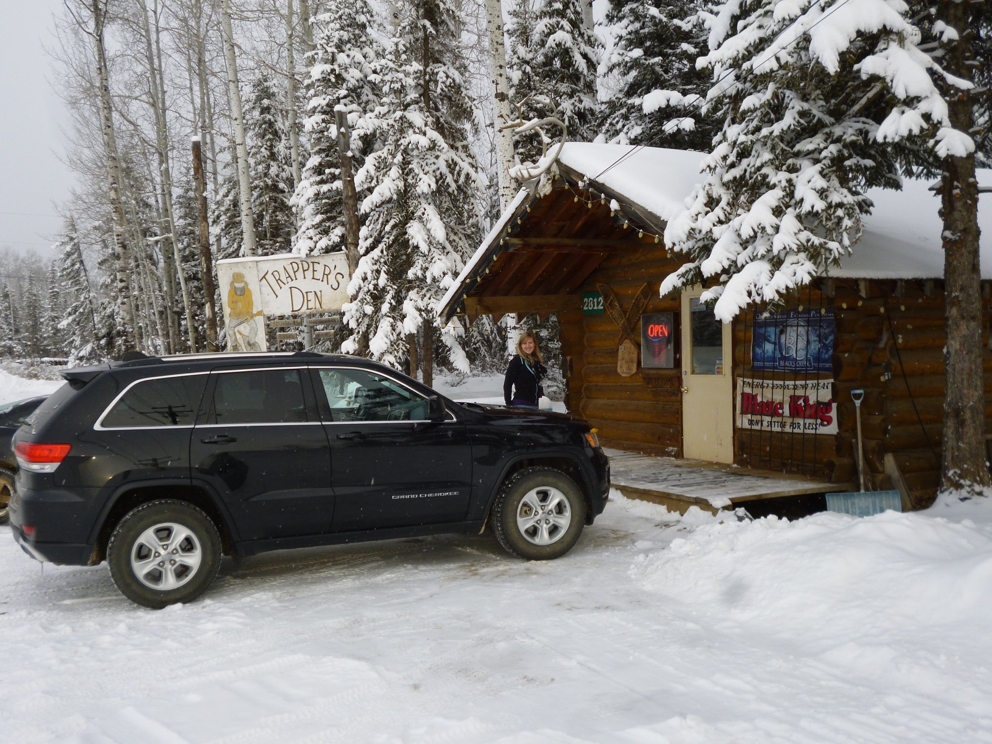
Our adventure commenced by flying into Fort St. John @ mile 44, (serviced by Air Canada and Westjet), the gateway to the Northern Rockies. [Dawson Creek, just south of Fort St. John, is mile 0 and 1 of the Alaska Highway]. Our AH travels took us over approximately 450 miles into northern British Columbia to just south of the Yukon border. In total, the distance we covered is only approximately 1/3 of the total 1350 mile Alaska Highway route. Having a tour guide and driver (Laani), along with the necessary security (Buck + shotgun), with a reliable vehicle (Jeep), made this cold weather adventure safe, comfortable, memorable, priceless!
Toomas Trei, Toronto
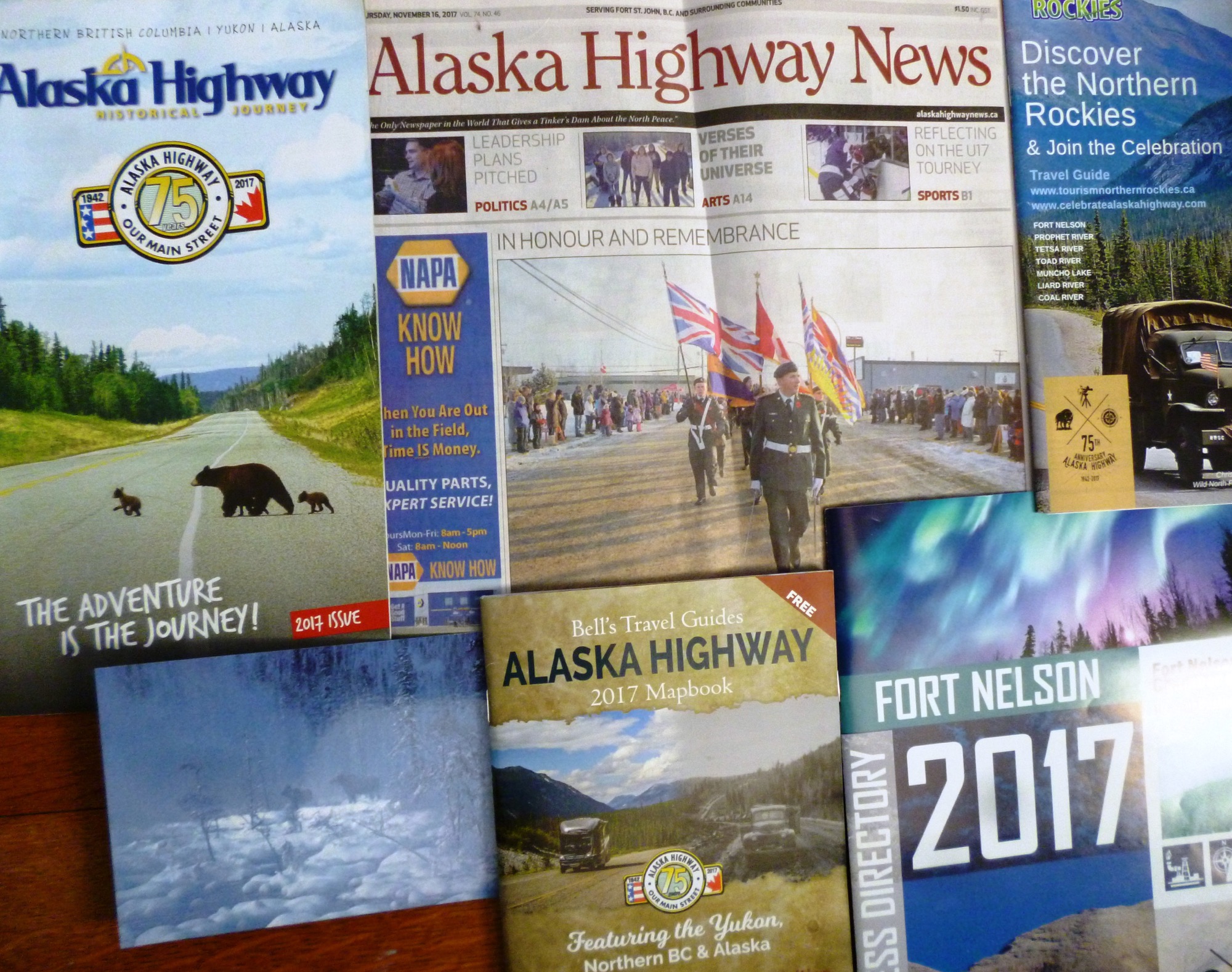
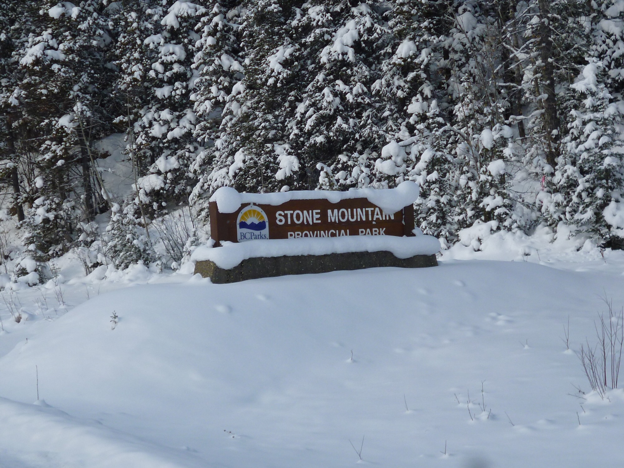
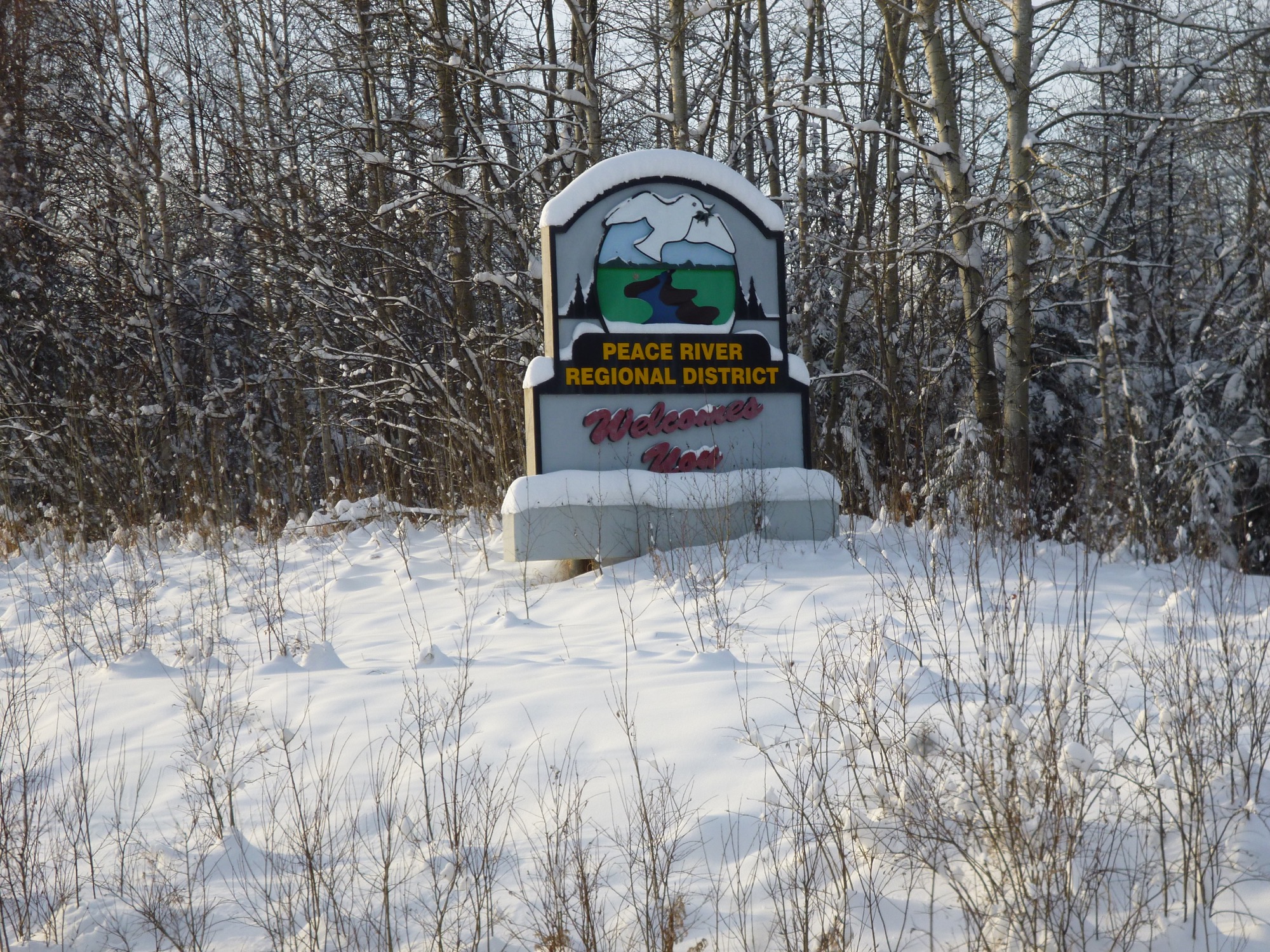
PHOTOS – The Adventure is the Journey!
jaan. 5, 2018 Estonian Life No. 1 2018
ALASKA HIGHWAY’S 75th ANNIVERSARY CELEBRATED IN 2017
Early in 1942, after the Japanese had attacked Pearl Harbor, Hawaii, in the Pacific Ocean in December of 1941, the United States Government being concerned about the vulnerability of its Pacific assets to additional attacks approved the building of a supply route connecting the territory of Alaska with the mainland of the United States. The USA Army Corps of Engineers was assigned to lead this project with more than 11,000 soldiers and engineers, and a supporting cast of 16,000 civilians and 7,000 pieces of equipment. There had been discussions of building such a route even in the 1920s, but the Pearl Harbor attack hastened the USA into action, and construction officially commenced on March 8, 1942.
