For some of us, it's a familiar enough area, but some parts of it still may have slipped under your radar.
Just north of Pickering, where Uxbridge Pickering Townline Road meets Concession Road 6, you'll find the start of the Glen Major Forest Loop. The loop is a 6.1 kilometre long trail wedged into the East Duffins Headwaters, for which Duffins Creek flows into Lake Ontario.
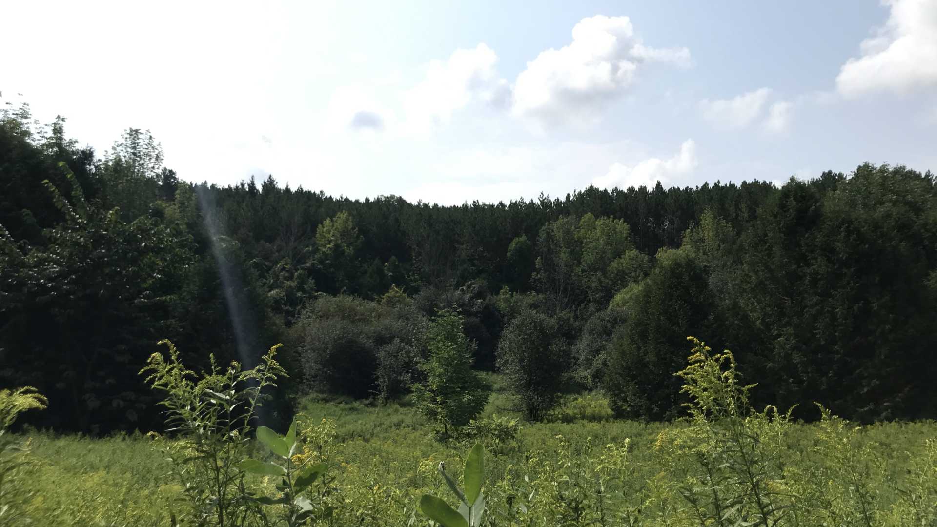
The loop starts out wide open, with lower trees and tall grass on either side. On the right hand side is a former aggregate pit that's undergoing a wetland restoration project. This project's efforts include directing water runoff to the site, installing log tangles, bird perches, and “planting native fruit bearing shrubs.”
Meadows and wooded areas alternate evenly until you reach the halfway point of the whole trail system. Here, you'll be surrounded by dense trees. The level of sunlight will be limited to a few rays that shine through the broad canopy. The further south you go on the trails, you'll come across brooks that run into East Duffins Creek. Moving north and east, the landscape becomes hillier, with a handful of opportune lookout points to reward you before looping back to the free parking lot on the western side of the loop.
On the trails, you'll come across runners, casual hikers, and mountain bikers all at once. Watch and listen around the bends and keep to the right side for the latter. If you're mountain biking here, the rolling terrain will be exhilarating to race down, but do keep these other visitors in mind. To make the most of the trails while they're less crowded, aim to start your hike in the morning.
The trails make quite a few disorienting bends and turns, so look around for signposts marked with reference numbers from G24 to G1, to track how far you've come along. Each signpost has a mini map on top, so you can judge the proximity of turning points. It would be a good idea to bring a compass, too, to return to your entry point in case you get turned around too much.
In total, you could make a two hour hike out of your time on the loop, or longer if you explore all of the trail route deviations.
When you're tired at the end of your hike/run/bike ride, head north to Lake Simcoe to rinse off, before driving back south to Uxbridge for lunch. The town has a number of restaurant choices and quaint stores to recharge and putter around after all of that exercise.
Unexplored scenery is not too far out of reach and will give you a renewed sense of the area around Toronto!
This article was written by Vincent Teetsov as part of the Local Journalism Initiative.


