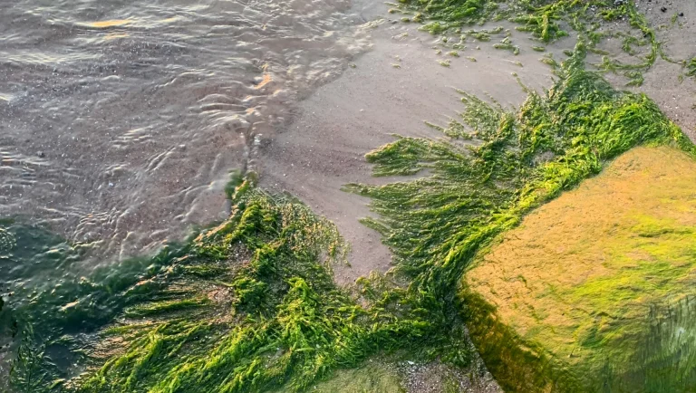
This is not solely North American anxiety, either. Data from the European Environment Agency (EEA) shows that the sea and its meeting points with land across continents are in an ongoing state of flux. Global mean sea levels have risen by approximately 23 centimetres since 1900, with 2024 marking the highest values on record. Being a low-lying nation with nearly 4,000 kilometres of coastline, it makes one wonder how Estonia will fare.
A recent comment on one of Eesti Elu’s YouTube videos suggested that an ancient geological counterweight could minimize this change. A phenomenon known as isostatic rebound, or glacial isostatic adjustment, indicates that the Earth’s crust has essentially been exhaling after a long, heavy burden. During the last ice age, a massive sheet of ice over a kilometre thick pressed the Estonian landmass deep into the mantle below. When the ice fully retreated roughly 11,000 years ago, the land began to adjust. According to NASA’s Earth Observatory, this viscoelastic adjustment is still happening today. With the pressure of the ice removed, the ground began to rise at a rate that, in some parts of the world, can exceed 10 millimetres per year.
… the Estonian Land Board… recently announced that the country has gained ninety-five new islands. These are rocky shoals and sandbanks that have finally broken the surface as the sea recedes relative to the rising land.
As such, Estonia’s coastline shows two trajectories. In the northwest, near the island of Hiiumaa, the land is winning the race. Research published in 2008 by Are Kont, Jaak Jaagus, and Raivo Aunap in the Journal of Coastal Research indicates that the northern coast was lifting by as much as 2.8 to 3.5 millimetres per year. This uplift effectively cancels out the current rate of sea level rise in Estonia. This explains why the Estonian Land Board, as reported by The Baltic Guide, recently announced that the country has gained ninety-five new islands. These are rocky shoals and sandbanks that have finally broken the surface as the sea recedes relative to the rising land.
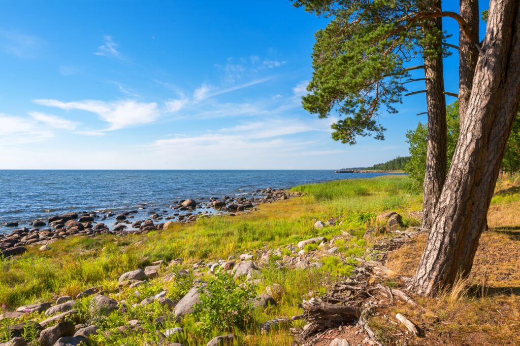
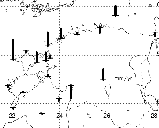
However, in the south, the uplift is far more modest, lingering at only 1.0 to 1.5 millimetres per year. Here, the land rises too slowly to keep up with the accelerating sea. In a 2011 study published by Ülo Suursaar from the University of Tartu’s Estonian Marine Institute, tide gauge data from 1924 to 2005 reveals that sea levels in Pärnu rose at a rate of 2.3 to 2.7 millimetres per year. Suursaar’s research highlights that an intensification of westerly winds and storm surges, linked to the North Atlantic Oscillation, is pushing more water into the shallow Pärnu Bay. The result is rising water and stagnant land.
This means that while some Estonians are watching land emerge from the sea, others are witnessing its loss.
… storms are becoming more frequent and intense. Waves chew away at the sandy beaches and limestone cliffs, carrying the soil into the deep.
The Land Board’s latest mapping efforts revealed that despite the ninety-five new islands, Estonia’s total land area actually shrank by four square kilometres. This paradox is explained by the efficiency of coastal erosion. As noted by Lea Pauts, head of the Land Board’s Spatial Data Department, storms are becoming more frequent and intense. Waves chew away at the sandy beaches and limestone cliffs, carrying the soil into the deep.
Is the rebound just wishful thinking for the future then?
Katri Viigand, a researcher at Tallinn University of Technology’s Institute of Cybernetics, recently told ERR that the eastern Baltic coast may face even more frequent and severe flooding in the coming decades. Global climate models suggest that sea level rise could accelerate to 5 or even 10 millimetres per year by the end of the century if polar ice sheets continue in their rapid disintegration. At those speeds, the coming century will be a contest between the slow, steady lift of the Earth and the pace of the seas.